… That Time We Spent 3 Million on Horses in Mongolia

Buying Horses in Ölgii, Mongolia

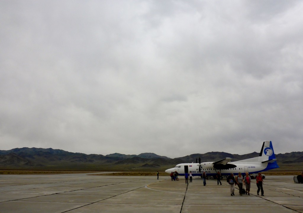
Ölgii AirportWalking out of the Ölgii “airport” a feeling of remoteness came over us that we hadn’t experienced, even with the places we’d been so far on this trip. Outside of the small parking lot, it was just nothingness. And unfortunately not the lush, green, grassy hills of nothingness we’d hoped for.

The next day we found a name and phone number of tour guide that we thought might be able to help us with our dream of buying horses in Mongolia and riding across the steppe. We called and were told they would meet us in thirty minutes. This was our introduction to Nazca, and how things get done in Mongolia.

We expected her, being in the business of organizing and selling tours, to try to sell us on a tour, instead of buying our own horses and riding by ourselves. But as soon as we told her what we wanted to do, she said, “OK. I’ll call some people. Can you come to my place later?”

We were shocked, didn’t she need more information about what we wanted? Didn’t we need to figure out where we were going? Well we assumed she was just going to get some information, maybe feel things out with people we could talk to about horses.

We headed off to the The Black Market of Ölgii to check out what kind of tack and supplies they had …
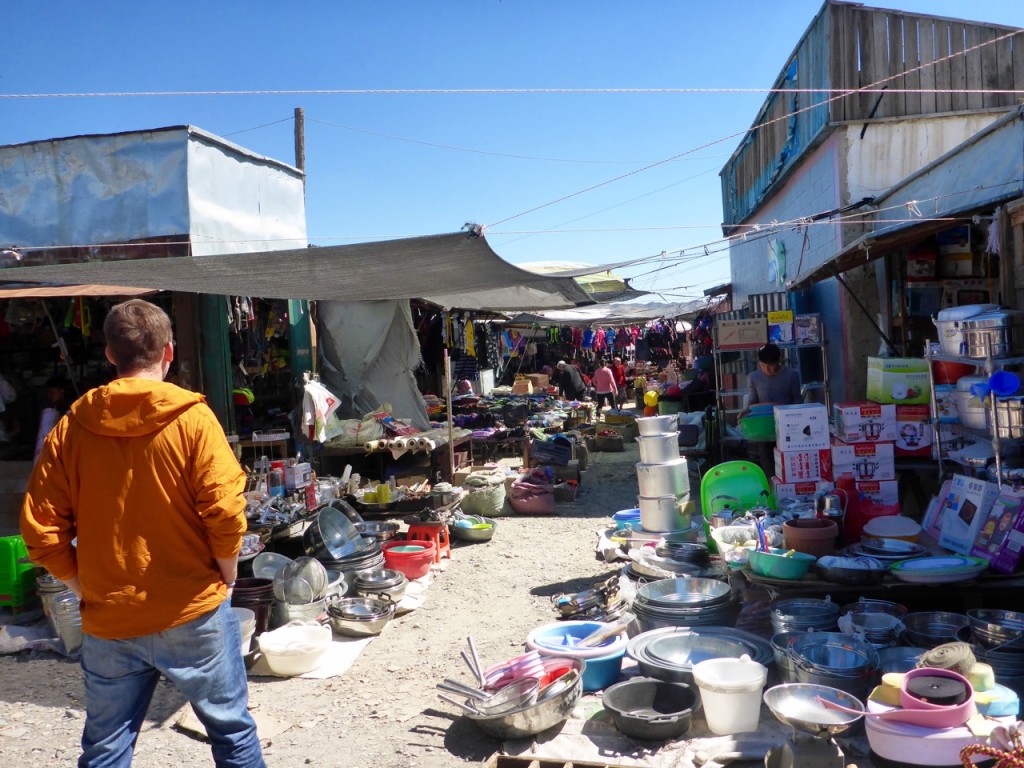
Ölgii Black Market is closedIt was nothing like the other market, there was virtually nothing. Even once it was open and full swing it wasn’t anything close to the UlaanBataar Black Market … unless, of course, you need some pots and pans or kids clothes or something like that.

Ölgii Black MarketWe knew we were in trouble.

By noon, we got a call from Nazca, in broken English, to come to her place. As soon as we walked into her ger camp, a man left to retrieve three horses – what the?!? HORSES?! This is happening … We’re buying horses in Mongolia! We aren’t ready for this! We thought she was just going to talk with us more about where we could ride, how to go about getting supplies, maybe try and sell us on a tour … no, she had gotten horses. Things were happening so fast around here!
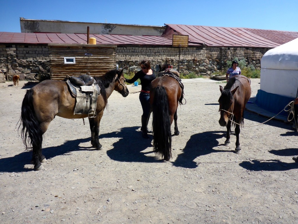
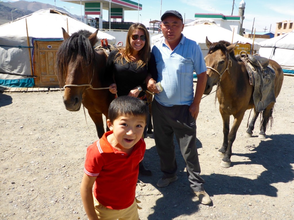
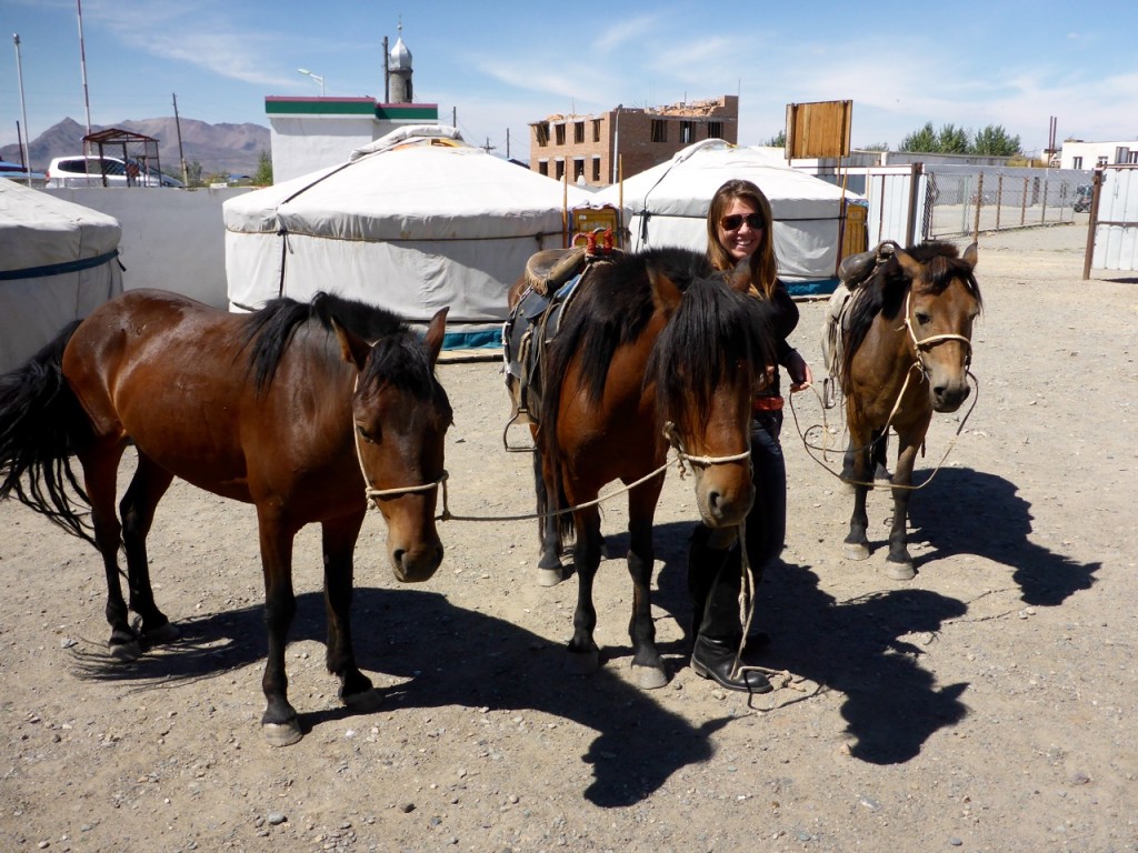
Buying Horses in Ölgii, MongoliaI examined the horses, they looked really healthy. I hopped on the first one, trotted him out of the gate, cantered down the road – he rode great. And it was the same with the next two. We had been told that it was hard for foreigners to find good mounts to buy in Mongolia – locals would only sell them their worst horses that were old, malnourished or way too wild. We decided it was too good of an opportunity to pass up, so we started negotiating with the family, and settled on a good price – ₮3,000,000 Mongolian Tugrik (about $1,500 US). But we had a problem, we still didn’t have any saddles, or supplies, or hobbles, or bridles, or really any idea exactly where we’re going … and we were staying in a hotel … and that hotel doesn’t really accommodate horses! We got them to agree to keep them for one more day and we could pick them up tomorrow.

Buying Horses in Ölgii, Mongolia Looking over our 3 Horses in Ölgii, Mongolia

For the next 24 hours I think I ecstatically yelled “OH MY GOSH!!! WE OWN HORSES!!!!!” about every five minutes! It’s impossible to capture here in writing how thrilled I was, but ask Rick sometime and he’ll recount the ridiculousness.

They were beautiful bays; we posted the pic on Facebook and asked for name suggestions. A couple people suggested naming them after some of our favorite places we’d been, and a couple more reminded us that you have to see their personalities before you name them.

We spent the rest of the day and most of the next morning gathering what tack we could find, buying a 3 week supply of food and with Nazca’s help, plotting our trek out on an old Soviet era Russian map.

When we picked them up we started to see their personalities. I knew as soon as I met him that I would be riding the stallion. They said he was the most difficult and spirited, so he was out for being a packhorse or Rick’s horse (sorry “Prude Dude!”). He was also the most beautiful, so I was thrilled. He was noble, and gorgeous, and freaked out at every little thing … I mean every little thing, if we rode past a green beer bottle, over a bridge, by a strangely shaped rock, he spooked. My favorite was when he spooked as we rode past a pile of cow poop. He was named after one of our favorite Chilean cities, Valparaiso and I called him Valpo for short, as they do in the city.
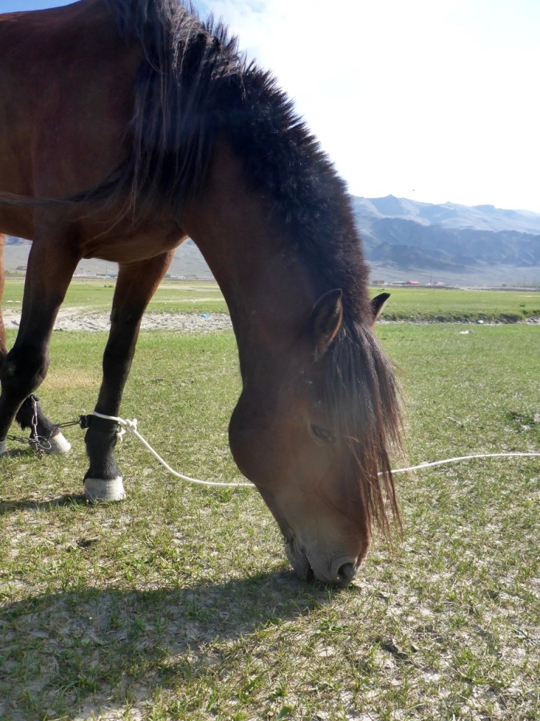
P1210884Our packhorse got the name Pokhara. It was one of the first towns on our trip. It’s in Nepal and a super chill, calm place. Pokhara was our calmest horse and it seemed to suit him. I remember the first day we were in Pokhara, Nepal, a guy at our guesthouse who had been there for three months, emphatically told us, “Don’t get sucked in!!” – he had only planned to be there for a week. It was an easy place to want to stay forever.
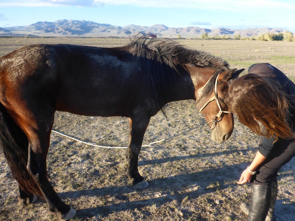
Making Friends in MongoliaAnd finally, Rick’s horse. He was steady and reliable when you were riding, but seemed to have a bit of a split personality when you weren’t. He was the most affectionate of the three, but then sometimes he wanted nothing to do with what you wanted him to do and would be a total pain. We thought about places we’d loved that were difficult sometimes, but close to our heart and we know Kajo Keji was the perfect fit for him. Kajo Keji is in South Sudan, where we worked with Seed Effect. It was a hard place in a lot of ways, but some of our favorite moments from the trip happened there. We called him Kajo or KK a lot.
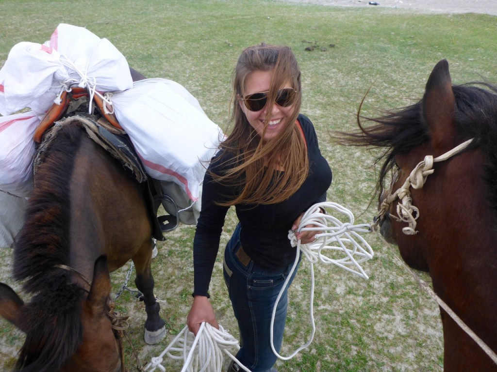
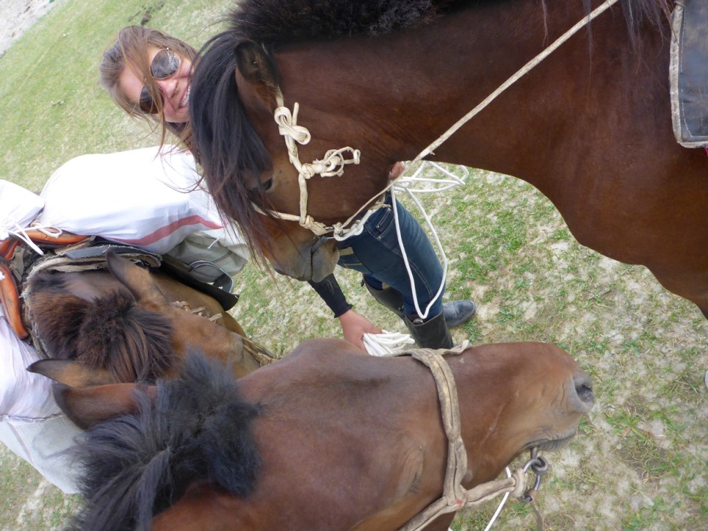
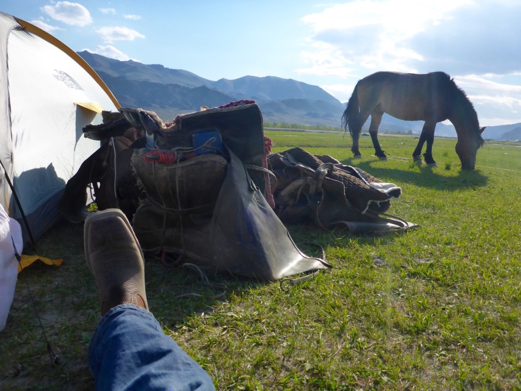
Pack horsin' around Horse Heads in MongoliaWe struggled to find saddles, bridles, hobbles and gear. And unfortunately got stuck buying stuff that was broken or barely working. It wasn’t ideal, but the next day we saddled up our mounts and headed out for our adventure.

Relaxing on the Mongolia Steepe

Huayhuash in the Andean Summer

Cordillera Huayhuash, Peru

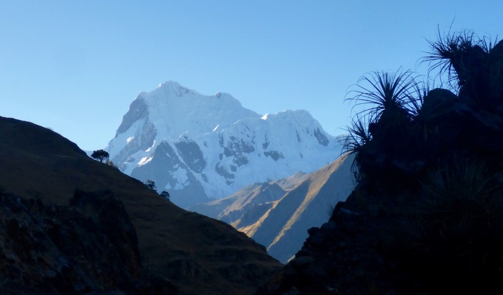
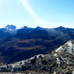
After arriving in Huaraz and looking at all the amazing options for trekking in the area we decided to tackle the big daddy of them all, Huayhuash (Why-Wash). And do it without a guide. It usually takes guided groups 8-10 days with donkey’s carrying all the heavy. The trail spends most of it’s time above 4000m/13,000ft and involves a bunch of passes up to 5000m/16,400ft  After all it’s the “Andean Summer” and this is the best time to trek in Northern Peru, as there is never a cloud in the sky.

We paid a visit to the Casa de Guias (House of Guides) and got ourselves a topo map, talked to one of the guides and came up with a rough plan. We would do 9 days, 8 nights with the option for another night if we needed it. It would be our longest self-supported trek to date.

We bought our bus ticket and were on a bus at 5:00am, on our way… our bus turned into a smaller bus, then due to mechanical issues, back into a bigger bus, and then into a cattle hauler… and then we caught a right in the back of a miners pick-up. As we left the mining camp we had to check in with their security officer. From there we walked for the next hour down a rode with a guide that was meeting his group of 17 hikers later that day at the trail head. And we met our unofficial guide, a very furry and friendly puppy dog. 7 hours after we left Huaraz we were officially hiking!

We felt the altitude as we climbed up the first pass that first afternoon. It was tough, and made us question if we were as acclimatized as we thought we were. Our puppy guide would prance up the trail and then turn and look at us to follow suit, and then after watching us struggle up the trail would come back to where we were and sprint back up the trial, as if he was trying to show us how to do it.

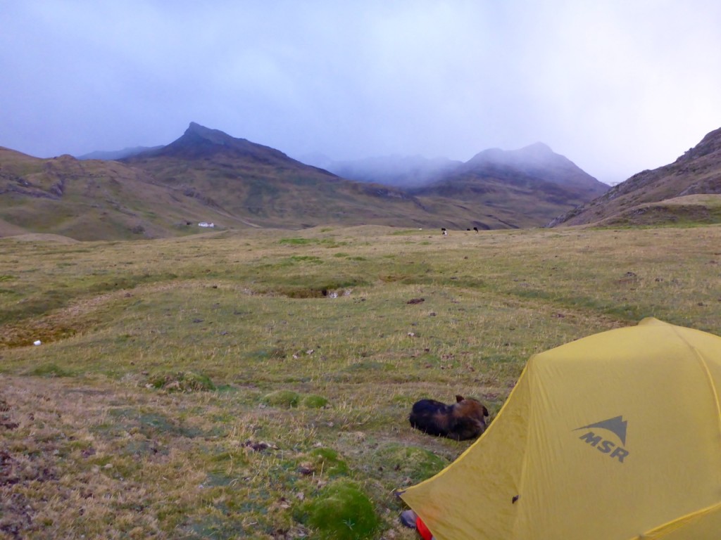
As the clouds rolled in we made it to our first campsite and promptly set the tent up behind a hill in an attempt to block it from the freezing wind, rain and snow flurries that were starting to come down. As we cooked dinner, our puppy guide curled up into a little ball, tucked his nose under his tail and went to sleep… outside our tent. After our last animal tent incident I wasn’t about to let him sleep in our tent, lesson learned.

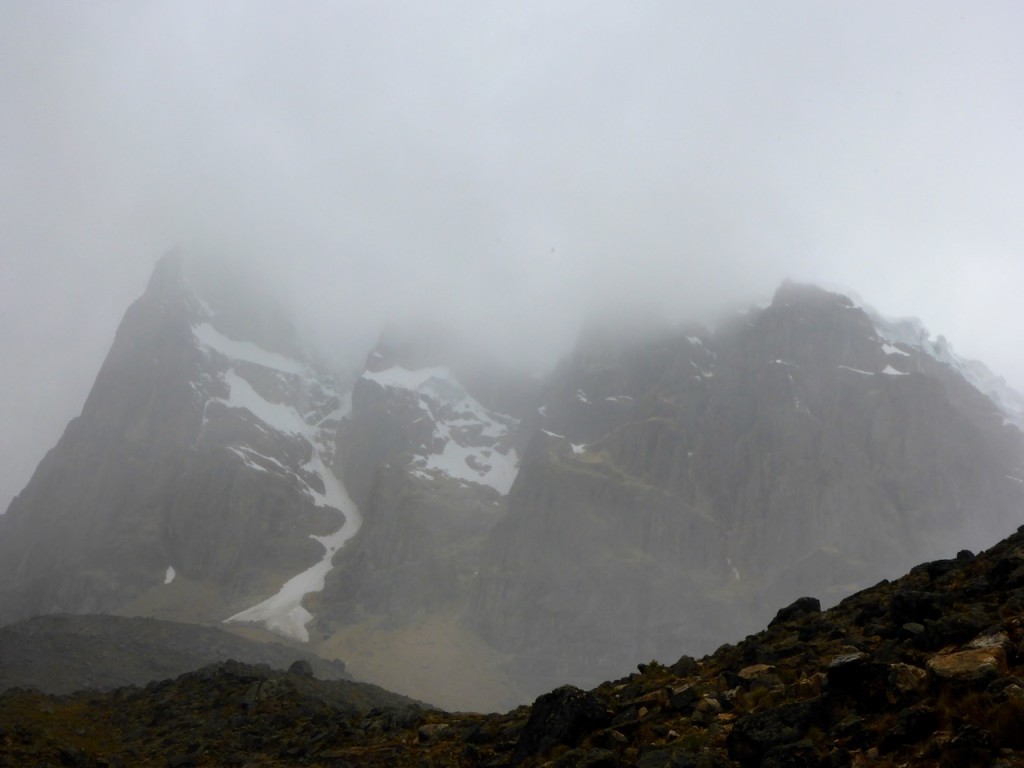
The next morning clouds were still hanging around as we made up the next pass. It wasn’t as high as the previous one, and had a relatively easy grade, so we were at our next camp before 11:00am. Liz made us a quick lunch while we talked with a couple of locals there at the campsite. They said it was only five hours to the next camp, not big deal, right? Except there was a huge pass between us and the next camp, with the steepest approach of the whole trip. We debated and decided to go for it. We pushed on to the next camp. The weather went downhill almost as quickly as the trail went up. The sleet starting coming down on us again pretty hard, and we couldn’t see the approach to the pass for the clouds. When we finally heard a few claps of thunder, we decided we shouldn’t try and make the pass. We had stopped at one of the most beautiful spots of the hike – with three glacier lakes, upclose views of the mountains and huge ice flows falling into avalanches. We made camp in a little depression next to a big rock to protect us from the storm.

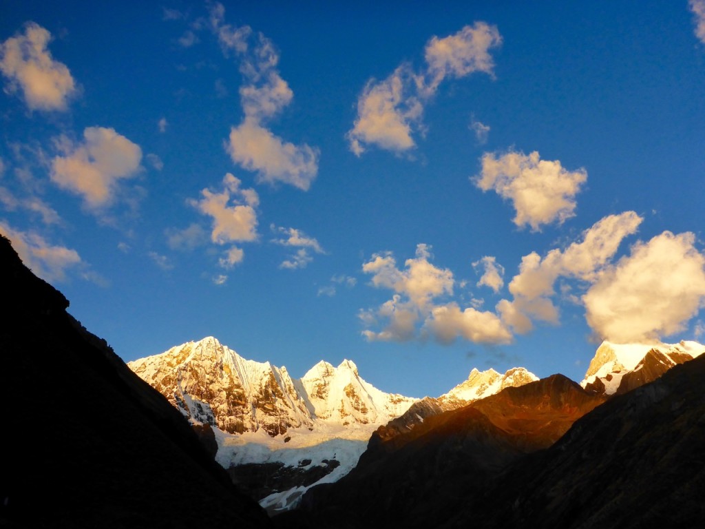
This turned out to be one of our favorite campsites to date. Surrounded by towering peaks, the weather broke just in time for sunset and we got to fall asleep to the thundering crashes of the glacier ice falling. A few times they were so loud we had to reassure ourselves there was a lake and a 50m hillside between us and the glacier.

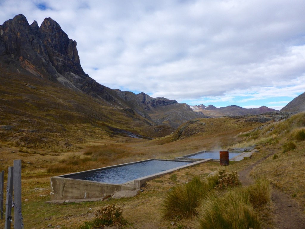
The morning started out with a few clouds and by the time we reached the pass it was completely overcast again… so much for cloudless Andean Summer. We were making good time though, until we lost the trail in a boggy area. We had to leap frog across a swamp from moss island to moss island to make our way back to it. But soon made it into Huayhuash camp to find it already set-up for a few large groups one of which was lead by the guide we hiked to the trailhead with. We talked with him briefly and he said it was only 4 hours to Agua Termales. Again we lunched and debated on continuing or camping…. As we did, the sleet and snow started up again, along with strong winds. It was cold! And it made our decision for us – at least hiking in the sleet and snow keeps you warm, sitting in camp for hours trying to stay warm is way less fun. Since it wasn’t even noon yet and clouds had covered the sky, we decided to push on the Aguas Termales and figured, even if it was snowing, we’d enjoy the hot springs. They were totally worth it and in hindsight, we should have stayed there for two days.

The next day made us both call our navigation skills into question. We started out with an hour detour because I thought the map made it look like we need to back track like 30 minutes to the trail (uphill!), in reality, we should have only back tracked for about 5 minutes. With the sky completely overcast and heading down into a valley our topo map gave us little indication as to where we were. We got turned around and back on the trail, to make the ascent up the highest pass of the hike.

We hit our stride and the climb up wasn’t too bad at all. Unfortunately, the grand views we had hoped for were eaten up by the clouds again. We couldn’t see anything 75 or 100 meters above us as we went over the pass. As we made our way down, we entered a forked valley and somehow blew right past the campsite we had planned on staying at. We were excited about a plan to do a day hike up to San Antonio pass from that campsite, to see the wonderful views of the full Huayhuash Range. But by the time we realized how far past the campsite we were neither of us were pumped about walking back up hill to try and look for it. Defeated, we decided to make our way to the next camp, which happened to be a small town as well.

As we followed the river down the valley in a straight line we still managed to get so far off trail that a kid on a horse had to show us where to cross the river and ended up escorting us all the way into town. We were unsure at first if he planned to mug us, extort us, or just follow us all of the way to town so we didn’t get lost. But he ended up just wanting to help us and even got us into a hospedaje. Harley was our hero of the day! We were reward for our troubles with a stay in the community hospedaje, where we also restocked on food and treated ourselves to a beer.

In the morning the skies were clearer, and we were prepared to spend a lot more time looking at the map. We made it over our sixth pass without to much trouble and then down to the campsite. It was a little disappointing, no real view to speak of. No wind breaks. And the grass lumpy and spikey. Like when we sat down on the ground to look at the map it poked through our pants. So after looking at the map we thought about decided to see what was around the next bend. We came to a little house, where we paid our fee and we were told it was only 4 hours to the next camp. We just had to push ourselves up another 500m over the pass and then it was an easy hike down to the lake. We made it over the pass and then down to our final campsite next to a lake just in time for sunset.

In the morning after a few false passes and being told by a donkey driver that we had taking the old donkey trail up over the mountain instead of the new easy tourist trail down around the mountain, we finally made it over our eighth and final pass and down to Llamac to catch the bus back to Huaraz… 3 days early!

If you want to see the technical trip report with times and heights etc, it’s here.

Trekking Huayhuash Independently

Cordillera Huayhuash, Peru

These are the technical details from our trek in July 2015 for anyone looking for info on Trekking Huayhuash Independently. If you’re looking for the color commentary and all of our pretty picture you can find those here.

Our original plan was for 9 days 8 nights was something like this:

  1. Huaraz – Pocpa – Janca
  2. Janca – Carhuaccocha
  3. Carhuaccocha – Huayhuash
  4. Huayhuash – Agua Termales
  5. Agua Termales – Nevados Valley Camp
  6. Nevados Valley Camp – up to San Antonio Pass and back – Huayllompa
  7. Huayllompa – Gashpampa
  8. Gashpampa – Lago Jahuacocha
  9. Lago Jahuacocha – Llamac

Here is what we actually did:

Day 1

Huaraz – Chiquian Llamac – Pocpa

Bus: 5:30 am bus from the corner of 28 de Julio and Internacional.

Notes: We switched buses in Chiquian about 7:30-8:00am and had enough time to grab breakfast there. We had some mild bus mechanical issues which put us about an hour behind. Then it was on to Llamac where we paid our first “fee” and switched to a cattle hauler truck (run by the bus company, no less) which we road on top of to Pocpa where we paid our second “fee.” We started hiking from Pocpa and with in 5 minutes we got a ride to the mining camp in the back of a pick-up truck which saved us another ~45-hour of walking. Overall we probably started walking a little after noon. And then another hour or so walking down the road to the Quarterhuain campsite.

Quarterlhuain – Cacanunpunta Pass – Janca

Quarterlhuain (4170m) to Cacanunpunta Pass (4690m) ~2 hours

Cacanunpunta Pass to Junca campsite (4150m) ~1.25 hours

Notes: Not a lot of wind protection at Junca but not a bad campsite.

Cordillera Huayhuash, Peru

Day 2

Janca – Carhuac (Yanapunta) Pass – Incahuain/Carhuaccocha – Tres Lagos

Junca (4150m) to Carhuac Pass (4640m) ~1.5 hours

Carhuac Pass to Carhuaccocha camp (4150m) ~ 1 hour

Carhuaccocha to Second Lake (Lago Siula) (4290m) ~ 1.5 hours

Notes: Because it wasn’t even 11:00am yet when we got to Carhuaccocha we decided we would head towards Ciula Punta but the weather was rapidly depreciating (light rain/sleet/snow and then thunder and lightening). Our map showed the trail going along the East side of the first lake. We followed that and it appears that hasn’t been the trail in a while… a far amount of bushwhacking was involved while we could look across the lake and see a nice clear trail on the West side of the lake. Take the West trail and then cross back over after the first lake. We ended up camping in a nice depression with a big rock for wind protection next to the second lake (Lago Siula). It was also just about the only place to camp between Carhuaccocha and the Pass.
This turned out to be our favorite campsite of the trek.  


Day 3

Tres Lagos – Ciula Punta Pass – Huayhuash – Portachuelo de Huayhuash Pass – Atuscancha (Aguas Termales)

Lago Siula (Second Lake)(4290m) to Ciula Punta Pass(4834m) ~2 Hours

Ciula Punta Pass to Huayhuash camp ~2 Hours

Huayhuash camp to Portachuelo de Huayhuash Pass (4750m) ~1.75 Hours (moving pretty quickly)

Portachuelo de Huayhuash Pass to Atuscancha (Agua Termales) (4365m) ~2 hours

Notes: There were a few big groups at Huayhuash camp when we got there ~noon and the weather was not the best so we figured we’d push it to Agua Termales. Agua Termales was another great camp and the Hot springs are perfect, should have stayed there for 2 days!

Cordillera Huayhuash, Peru

Day 4

Atuscancha (Agua Termales) – Punta Cuyco Pass – Huayllapa

Notes: This is where we really started having navigation issues. We lost an hour walking all the way back to the dame (which is what our map made it look like we should do) in reality you don’t have to back track very much at all, the trail is on the Agua Termales side of the rocks/hill that the trail and the river cuts between.

Agua Termales (4365m) to Punta Cuyco Pass (~5000m) ~1.75 Hours (not included detour)

Punta Cuyco Pass to Huallapa (3500m) ~5.25 Hours (lots of map checks and errors)

Notes: Coming down the pass we ran into another couple that gave us some advice to “stay left when you get to the swamp… it’s a lot shorter than the right side that the donkeys go.” Hindsight, something was probably lost in translation and this added to our next error. We completely missed the campsite in the Nevados Valley and the trail to San Antonio Pass. Looking back it was probably where the trail split and the left trail went over a little rocky finger that sticks out into the valley and the right trail goes way out around it. Never the less, we never say it and by the time we realized we had completely missed it we were so far down the valley we figured we’d just keep going as the weather was crap and you couldn’t really see any of the awesome mountains we assumed were there.

The trail crisscrosses the river as it goes down the valley and at one point it crosses the river at a little house and it looks like you’re walking up to someone’s house and not the trail. THIS IS THE TRAIL! We didn’t think it was and stayed on the north side of the river and the trail eventually disappears. A nice kid on a horse showed us a bridge and got us back on the trail and basically escorted us all the way to Huayllapa. (Thanks Harley!).

I would not recommend going all the way to Huayllapa.

Cordillera Huayhuash, Peru

Day 5

Huayllapa – Huatiaq – Tapush Punta Pass – Gashapampa – Yaucha Punta Pass – Jahuacocha

Huayllapa (3500m) to Huatiaq camp (4253m) ~2.5 hours

Notes: We never saw official second camp (Incahuain)

Huatiaq camp – Tapush Punta Pass (~4750m) ~2.5 hours

Notes: There is a mining road (wide enough for a truck and tire tracks) that starts big switch back to the left steeply up the hill and there was a small cairn at the corner of the first one with a very small trail heading straight (towards the Tapush peak). We debated a bit and ended up taking the mining road, but at the top they meet up again, I would suggest taking the smaller trail as it looked like it would be prettier thought maybe a bit more challenging.

Tapush Punta Pass to Gashpampa Camp (4625m) ~40 minutes

Notes: Gashpampa was a pretty ugly campground, a couple of out houses (and old outhouse holes) lumpy, spikey grass and not much of a view (especially when it’s over cast).

Gashpampa to Yaucha Punta Pass (4847m) ~2 hours

Notes: As we made our way around Mitishccocha we came to a little house, nice guy and we probably could have camped there much prettier and better camping that Gashpampa. But we wanted to make it to Jahuacocha Lake.

Yaucha Punta Pass to Jahuacocha Lake camp (4075m) ~ 1.5 hours

Notes: Jauacocha was a pretty developed camp but the view is pretty epic.

Cordillera Huayhuash, Peru

Day 6

Jahuacocha – Llamac – Huaraz

Jahuacocha (4075m) to Marash Punta Pass (7272m) ~2.5 hours

Notes: We followed the sign to Llamac (one of the only trail signs we saw on the entire circuit) and on about the 3rd falls pass a donkey driver passed us and asked us why we went the hard way and not the easy tourist way that doesn’t climb the mountain and just follows the river down to LLamac. Apparently the high road, over the pass is the old way and only donkeys do it now.

Marash Punta Pass to Llamac (3500m) ~1.5 hours

Notes: The bus back to Huaraz stops in LLamac on it was to Pocpa about 10:30am and then passes back through headed towards Huaraz at 11:00am. We also had another delay on the way back as a truck was broken down blocking the road so we waited about 2 hours for it to be fixed. All in we were back in Huaraz about 4:30pm.  

Cordillera Huayhuash, Peru

Map:

We used the Skyline 1:75,000 topo by Aonek’er. It was a source of constant frustration on the trail as it didn’t really have enough detail (we couldn’t see the peaks because it was overcast). It’s a bit outdated lot of trails (mining roads, donkey trails etc) aren’t really marked so there are a lot of forks that aren’t very obvious which way to go (as there is no fork on the map). They also put icons right on top of major intersections obstructing the trail. There is a better 1:50,000 “German made” map that got a green cover. Bring a compass for sure.

The Trails:

There are LOTS of trails, People trails, Mining trails, Donkey Trails, Cow trails, game trails. And there are almost not trail markers or signs (apart form designating camp sites) and the one trail sign we saw pointed us the wrong way. You get the feeling they really want you to have a guide, because they aren’t marking anything. We spent a lot of time trying to decide which trail to take and often we made the wrong choice and ended up on the donkey trail.

Cordillera Huayhuash, Peru

Locals:

There weren’t a lot of people out on the trail we only ran into a couple a day (usually collecting fees) they were friendly and helpful if you asked. ALWAYS ASK to confirm you’re on the right route.

Water:

Plenty of water all the way, we never carried more than a liter a piece at any given time. But it’s all needs to be cleaned. 

Fees:

All in we paid about 195 Soles per person for our 6 days of trekking (about 2 billetes a day).


Weather:

We were expecting “Andean Summer” with perfectly clear skys and perfect weather. We unfortunately got pretty misserable weather for the first 3 days. Rain/sleet/snow flurries and lots of clouds kinda killed all the views.  

Cordillera Huayhuash, Peru

Ain’t No Canyon Low Enough

Ain’t No Valley Canyon Low Enough

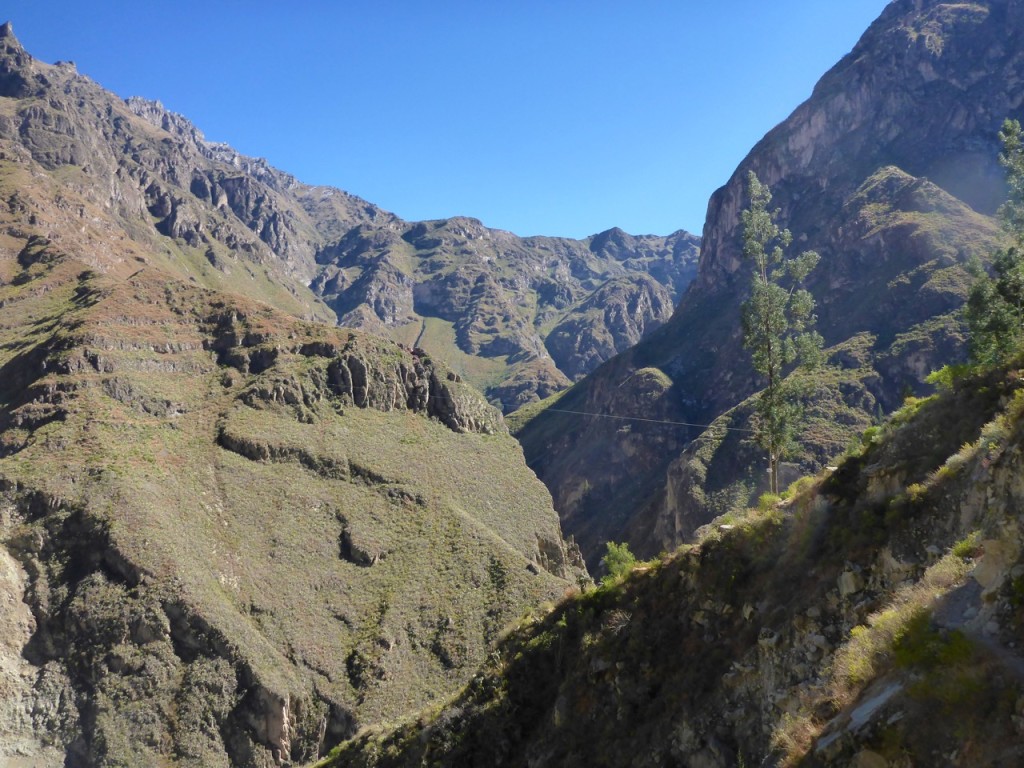
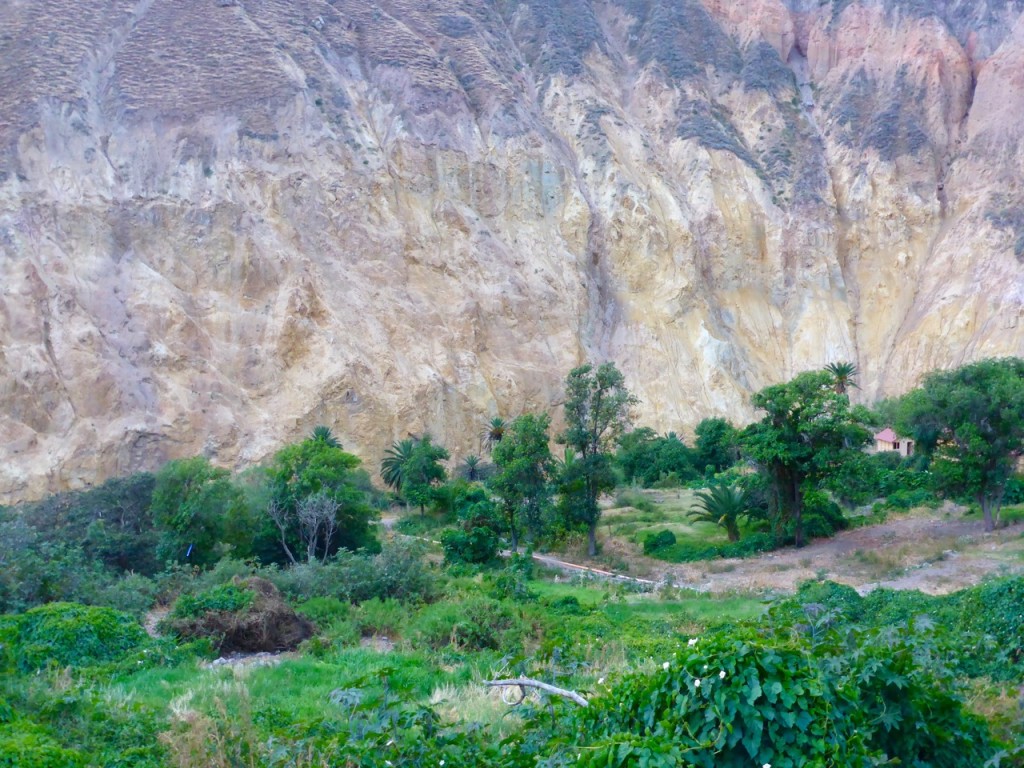
Peru is home to the world’s deepest and second deepest canyons, both are just outside of Arequipa. We wanted to hike at least one of them, and being of the anti-guided mindset, found Colca Canyon to be more independent traveler friendly with a nice little circuit of small villages about a days hike apart throughout the canyon.

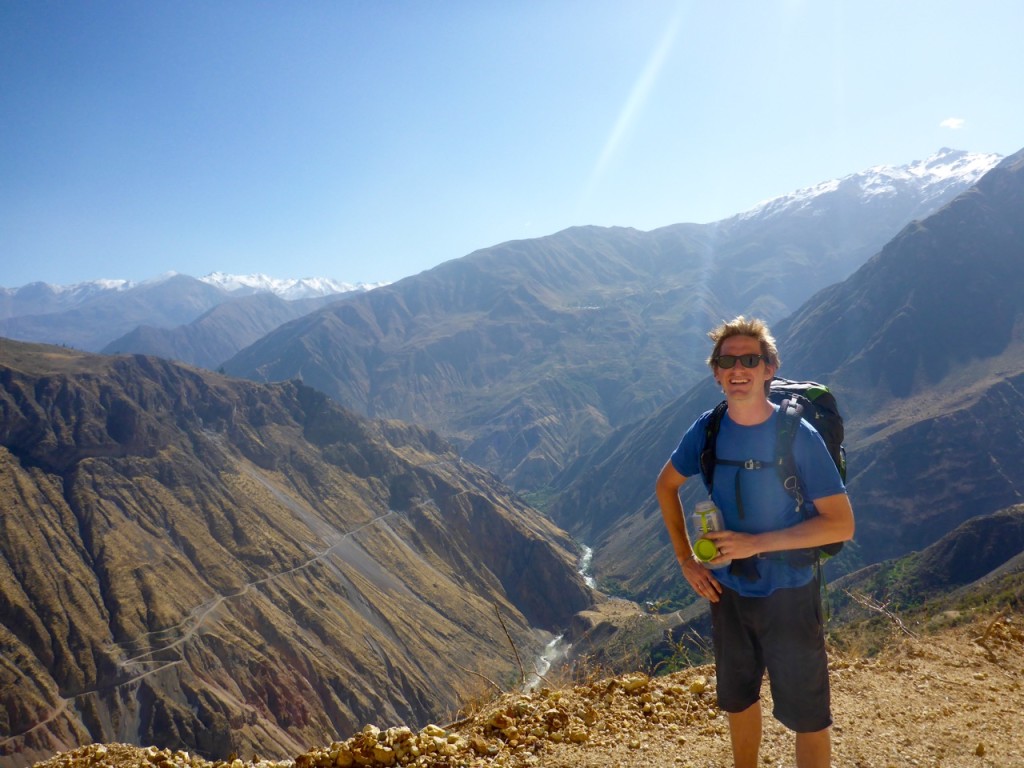
P1200518We had heard that the main route from the “larger” town at the canyon rim, Cabanaconde, to the oasis village at the bottom, Sangelle, was pretty packed with tour groups. So we decided to take an alternative route to get off the beaten path. Unfortunately, to get to the canyon rim we had to take a tourist bus. It picked us up at 3:00am and we fortunately were able to sleep for the first couple of hours. But within fifteen minutes of being awake and listening to the guide we were so glad we would be departing from him shortly.

Once we arrived in Cabanaconde we stopped at Pachamama Hostel to grab a trail map and advice on the alternative trekking options. They were really helpful and we confidently set off on our way. We only made it to the edge of town before we got completely distracted by a horse auction going on in an old bull fighting ring.

We each picked out which horse we would buy, if we were going to buy a horse in Peru. I chose a big (for a Peruvian horse) bay stallion with a “c” mark on his forehead. Rick picked one of the younger black horses. I struck up a conversation with one of the locals next to us and it was going smoothly until I asked how much a horse would cost… to which he responded “how many horses?”, I said just one, but that clearly was incomprehensible that I would want to buy just one horse. Apparently in the Peruvian countryside you would NEVER buy just one horse, so we talked in circles for a few minutes, then he consulted the folks next to him about the crazy idea of buying just one horse and how much it would cost. The answer was 400 Soles, about $125 US dollars. What a deal!

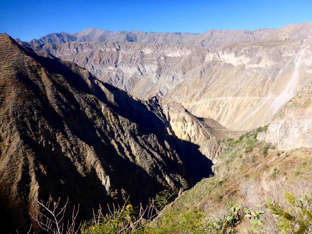
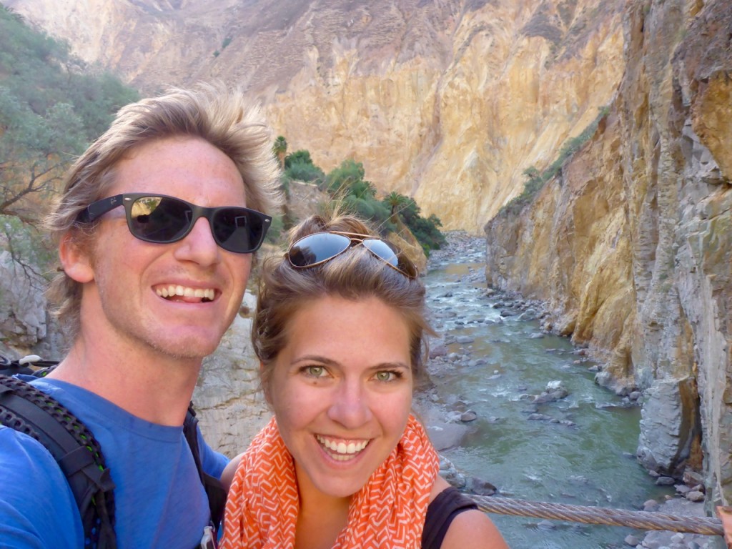
But horses are difficult to cross borders with so we forced ourselves to leave the auction and start the hike. The first day was mostly downhill into the canyon. We saw lots of cactus and birds, and the condors were the star of the show that day. We saw over a dozen of them soaring over our heads. We were told it was a five hour hike, but we made it in a little under three hours and arrived at Llahaur. Llahaur can’t even be considered a village… it’s really just a spot on the river where a family has erected some bamboo huts and a little restaurant because there are hot springs there. It was adorable and the views were incredible.

P1200525

We set down our packs and went straight for the hot springs. We spent most of the afternoon and evening there enjoying the warm water and canyon views. It was, by our low standards, luxury trekking! We got to sleep in a bed, someone else made dinner and there were hot springs – score!

P1200529

P1200533

We woke up refreshed and ready to tackle the uphill hike to the next village, Fure. It was the one that would get us way off the beaten path. Fure is in a lush side canyon, off of the main canyon.P1200554 We made great time getting up there, doing it in two hours instead of the five it was supposed to take. As soon as we arrived we realized this was probably not the place to stay – we had been told that locals would offer a room in their house to stay in, but the village (ten houses total) seemed to have been virtually abandoned. We met a woman who was walking her sheep up to graze and had a little house there. We wanted to make the out-and-back hike to the nearby waterfall, and she offered to watch our backpack while we hiked it. The waterfall was beautiful, all of the way back in the canyon. The water just came out of nowhere, from the middle of the rock, shooting out to a 110 foot drop.

We planned to eat lunch at the house of the woman keeping our backpack, in exchange for keeping it. But when we asked her about lunch, she said she didn’t have anything to serve and we could go to the shop at the end of town. The shop was most definitely closed, like every other house there. It was supposed to be another solid day’s hike to get to Sangalle, but since we’d made great time in the morning we figured we could make it that afternoon.

This section of the hike had some of the best scenery and views of the canyon and surrounding mountains. P1200583

But the downside was that a large portion was on the dirt road – which always makes it feel like you’re hiking ten times longer than you actually are.

P1200536

Today’s hike also had the highlight of us getting the crap scared out of us, and running away from, the least intimidating animals ever. First it was the Attack Sheep of Death. Yes, a sheep scared us. It was perched on a terrace just above the trail and as we got closer, it started stomping it foot, making angry eyes at us and looking like it was going to either ram us, or more likely in my mind, taking a flying attack leap off its perch over us and batter us with ninja-like hoof moves. No kidding, we tried to talk it down but to no avail, this sheep did not want us there… so we covered our heads and ran past it!

 To add further insult to our day, this GIANT fly with a huge proboscis/stinger started following Rick and trying to bite him… which resulted in him flailing our Nalgene at it and then running away. (and I refused to come to his rescue). And the final moment of shame was when a quail surprised Rick on the trail, when he surprised it coming around a corner, and he screamed and hit the deck – I’m sure it was PTSD, Post Traumatic Sheep Disorder, that caused his dramatic reaction.

P1200600

Anyway, finally “The Oasis” of Sangalle came into view…. All we had left was a 3,000 foot descent into the valley! It wasn’t as knee-busting as we feared, but after putting in about 19 miles that day we were ready for some rest. Sangalle is called “The Oasis” because in the middle of this massive desert canyon, water literally flows from the rocks everywhere there. It’s filled with greenery, palm trees and pools! The pools are filled with constantly flowing natural water. It was really cool.

 P1200601

We relaxed with a beer and big dinner and went to bed early. We had to wake up at 5:30am the next morning to make our way 3,900 feet up the side of the canyon back to Cabanaconde in time to catch a bus.

We were thankful it was still chilly in the morning, because the ascent certainly warmed us up quickly. We made it in just under two hours, about half the time it was supposed to take us – Yea, we still got it! The canyon was really cool with lots of views and volcanic activity – from geysers to hot springs.

The climb back up the canyon was nothing compared to the nine hour “sightseeing” bus ride back – ugh! We were dirty and exhausted when we got to Arequipa, but since there was no room for us in the hostel we decided to jump on a bus to Lima.


Machu Picchu

Machu Picchu, Peru

After trekking into Aguas Calientes and hearing about the hour and a half hike up the hill from town to Machu Picchu, and knowing that we had to catch our ride back to Cusco in the early afternoon, we decided it made the most sense to just buck-up and pay for the bus ride up the hill. $26 USD apiece round trip… for a 20-minute bus ride. That’s on top of the Park entrance fee and whatever else you spend to get there. Needless to say it’s not a cheap place to visit. #Extortion

Nonetheless we are up at 5am and waiting in line for the bus when the nice lady comes buy to check our tickets and our passport.

“Tickets? I know I put them in one of these pockets. Crap! Liz stay inline I’ll run back to the hostel and grab them from the backpack.”

10 minutes Later I came back and said something like this.

“I lost them. Explicative. Can’t find them. Explicative. They’re gone. Explicative. They must be in Cusco where we bought them. Explicative.”

I am officially the loser now.

Liz stayed calm and said something to the effect of “Calm down and go check and see if they can reprint them in the park office.” I run off to the office is open (amazingly) and they were more than happy to look up my passport number and reprint the tickets for me.

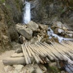
My heart was still racing the whole bus ride up the hill and for probably an hour after. So once we got into the park it felt a little more like Disneyworld than an ancient city. Hundreds of people everywhere, lines, tour groups with bicycle flags. We wisely made our way away from the hordes of people and followed signs towards “Inca Bridge.” Sounded interesting enough and was the opposite direction of everyone else. We were rewarded with a narrow path build right into a cliff face that worked it’s away around the mountain and then ended at a bridge that appeared to be a defense mechanism. Run across the bridge, remove the boards, enemies are stuck. Pretty cool.

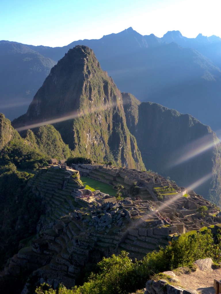
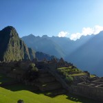
We spend the rest of the morning wandering around the massive maze-like city. Taking a ton of photos and overall just being awed at their ingenuity and the beauty of the valley.

P1200309

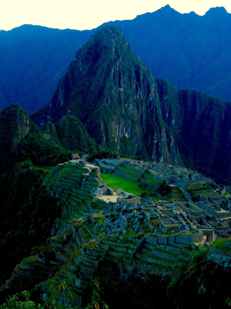
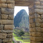
We had learned a bit about Inca construction from our walking tour in Cusco so it was cool to see it play out on a grander scale. As with most everywhere else, the more important things are constructed better. The temples and “important places” are constructed in a way that the rocks fit perfectly together, with almost no gap. Where as common houses etc, while still built well, definitely don’t have the same attention to detail. Even still it’s amazing what has stood the test of time. While a lot of Machu Picchu has been reconstructed, with a little wandering we were able to find some areas that hadn’t been rebuild yet, and they’re surprisingly intact for their age.

It was also pretty amazing seeing how the Incas worked with the landscape. From the dozens of levels of terraces build right into the side of the hill to using the giant boulders in their construction – they really made use of what they had to work with.

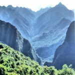
One of the things that we didn’t expect of the sacred valley (though I guess we should have by the name) was just how cool the valley itself is. Machu Picchu sits on this little shoulder between two small peaks on a peninsula in the middle of this valley that is completely surrounded by rows and rows of mountains in every direction. Makes it pretty obvious why the Incas picked this spot for Machu Picchu.

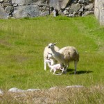
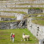
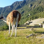
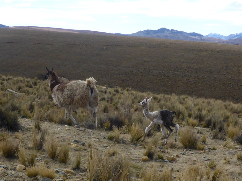
As we were making our way toward the exit to catch our bus we came across a pair of llamas that had just given birth and got to see a baby llama take it’s first steps on a terrace at Machu Picchu. We felt kinda special.

Walk like an Inca: Salcantay!

Salcantay Trek to Machu Pichu, Peru

If you’ve followed this blog for more than a minute or know Liz and I at all you’ll know were not ones to plan things 6 months out. That’s apparently what it takes to hike the “Classic” Inca Trail to Machu Picchu. It’s limited to 500 people a day and books up 6 months in advance… Seriously 500 people a day on a trial. No Thanks.

Lucky for us there are a number of other ways to get to Machu Picchu some of which even involve hiking. After a lot of option weighing we decided on the Salcantay Trek which follows another of the Inca’s many highways through the Sacred Valley on a 4 day trek and includes a 4600m pass. Best part… you can hike it without a guide and you don’t need tickets!

Salcantay Trek to Machu Pichu, Peru
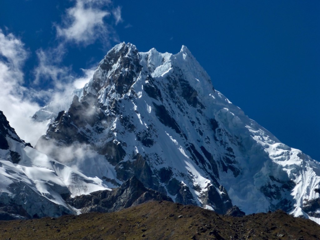
This is Liz’s new favorite mountain, Salcantay.

After visiting the local South American Explorers club for a topo map from the 60’s (the latest version) and stocking up on a few supplies for the 4 day trip to Aguas Calentes at the base of Machu Pichu we caught a Colectivio at 6am for the ride to Mollepata where we’d start our journey. We were in luck and got the last 2 seats in the jam-packed mini-bus which meant we got to ride in the front and we didn’t have to wait for anyone else. A quick two hours later we were in Mollepata and I suggest we get breakfast as sort of a last meal before oatmeal for days. We got a tourist breakfast, which came with “orange juice” which not surprisingly turn out to be Tang. Liz pointed out that it probably wasn’t made with filtered bottled water… I shrugged her off and downed both glasses. #foreshadowing

We made our way to the edge of town and up a gravel then dirt road climbing all the way. It was surprisingly hot and when a guy driving past offered us a ride we jump at the opportunity to cut a few minutes off our trek. He drove us for about 10 minutes to where our ways parted and probably saved up 30 minutes of walking in the hot sun. Shortly there after we saw our first, of many, tour groups that were unloading from mini buses and starting their hike. The rest of the first day was a hot up-hill slog with some awesome views.

After reaching a valley and a huge fancy lodge, we found our campsite, with great views of the surrounding mountains. We were tired and wanted to save our energy for the 800m climb to the pass the following morning. The wind was picking up and it was getting cold as the sun set so we were thankful for the small cooking shelter where we made dinner and met another guy hiking independently, Mark. Mark had been traveling Bolivia and Peru and as we swapped stories he mentioned how he always seemed to get a bout of giardia whenever he’s in the Sacred Valley… #MOREforeshadowing

We rose with the sun and started our push to the pass at 4600m. The first hour was pretty brutal, our muscles were cold and sore and it took a while to get warmed up, but once we were the trail was beautiful and we found our rhythm.

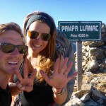
At the top of the pass we were pleasantly surprised to find a summit that was enjoyable and a nice place to hang out for a bit. It was down right pleasant, even in a t-shirt. We took some photos, socialized a bit with some of our new friends, and of course found time to do our signature “airplane at the summit” move! We enjoyed the sunny weather before turning our boots downhill.

After a few hours of downhill I realized I couldn’t suppress it any longer. That rumble in my stomach had grown from “maybe a little gas” to “I think I’m going to poop on myself.” The challenge now was where. Or trail had become a bit of a donkey path with dense vertical jungle to our left and barbed-wire fence and drop off to our right. I decide it’s time to warn Liz of the impending doom.

Honey, I think I’m going to $#!† myself.

And so starts the search for the perfect location… make that any location. Did I mention the team of donkeys and porters we had just passed about five minutes ago that are hot on our tail?

Eventually, as the pressure builds, I get less selective and I find the perfect place to hang off the edge. At this point there is no longer any questions… I should not have drunk the Tang. We hobble into the next campsite about an hour later and Liz enjoys a cold beer with our new friend Mark while I head straight for the bathroom. After about an hour, a dozen trips to the baño, a few Peptos, a prescription strength anti-diarrheal, and a Gatorade, I’m feeling semi-confident I can probably make it 30 minutes down the trail to the next campground where we planned to camp.

We made it and were greeted with a beautiful site right in the middle of the valley. I collapsed on the ground while Liz set-up the tent, cooked dinner and suggested I take some of the hydration salts she had ever so wisely suggested we carry with us on all hiking trips. After dinner I perked up a bit before feeling a bit ill again and deciding I needed to go to sleep.

The next morning I felt worlds better and when Liz ask if I was up for the alternate route I was game. It was downhill-ish for the first 3.5 hours until we reached La Playa where the trials split, one climbs 800+m uphill to Llactapata (another set of ruins) and the other down to the tourist town of Santa Teresa and the hot springs. We started uphill at about noon and it was absolutely sweltering. We’d hike for 15 minutes then rest in the shade for 5 but eventually we made it to the top of the mountain and the Llactapata ruins from which you can see Machu Picchu across the valley.

Our campsite for the night was a few minutes down the trail and had an even better view of Machu Picchu. It was a pretty magical sunset. Then it was up early the next morning for the big walk down the hill and along the train tracks to Machu Pichu Puebo, Aguas Calentes, The tourist town at the base of Machu Picchu. The entire town is basically there to support the tourism of Machu Picchu.

Salcantay Trek to Machu Pichu, PeruSalcantay Trek to Machu Pichu, Peru

Climbing Huayna Potosí

Summit of Huayna Potosí

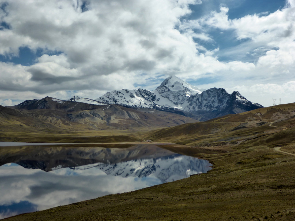
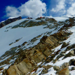
Huayna (pronounced Why-Na) Potosí hits 6088 meters (that’s 19,980 feet!) above sea level in the Cordillera Real, about 2 hours outside of La Paz. It’s considered by many to be the first technical mountain above 6000m that most people will ever climb. That seemed like a good enough reason for us to try and tackle it. With La Paz acting as a base camp of sorts for acclimatization at almost 3500m it’s only a 3 day trek to the top. With this being our first technical climb, we went with a guide.Huayna Potosí

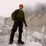
After meeting our Guide we went by the Altitude6000 depot to get outfitted with a few things we didn’t bring on the trip, specifically mountaineering boots, ice axes and crampons! Unfortunately I had sold my crampons in a garage sale before we left – you know, since I only got to use them on one trip down the drive way in Dallas during an ice storm.

Llamas on the way to Huayna Potosí

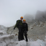
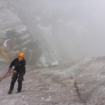
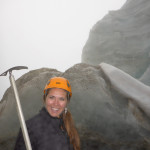
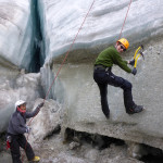
After driving up to base camp at 4700m we ate lunch and then took a short hike to Glacier Viejo to familiarize ourselves with our gear. This turned out to be more like an Ice Climbing 101 class and was awesome. Liz was a natural.

The next day we hiked up to high camp at 5130m with all our gear. After reaching high camp we dropped our gear, ate lunch and then climbed a little higher to try and help us acclimatize a little more. Then it was rest, rest and rest the rest of the afternoon; We would be waking up at midnight for our six-seven hour push to the summit.

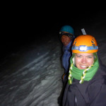
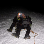
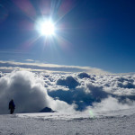
With a full moon and headlamps we strapped on our crampons and started up the mountain. Huayna Potosí doesn’t mess around. It starts off steep right out of high camp and didn’t let up. As we climbed we were entertained by cloud-to-cloud lightening off in the distance. It’s something else to see lightening when you’re eye level with the clouds.

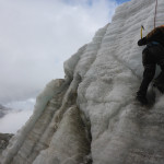
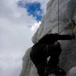
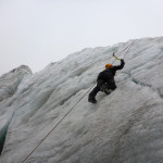
We got to practice our newly acquired ice climbing skills in the dark on a 15m wall that marked the halfway point.

From here on out it seemed like every step was twice as hard as the previous. Our guide was a huge help at this point as he was constantly motivating us to keep slowly moving up the mountain. After our Kilimanjaro experience we we’re to big on racing up the hill and were more than happy to the few other teams on the mountain pass us up. The only prize for getting to the top first is that it’s still dark and freezing cold!

Climbing Huayna Potosí

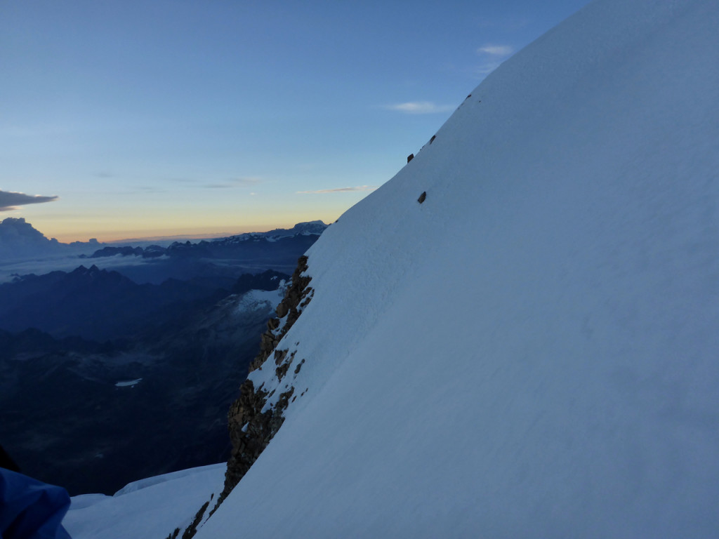
As the sun started to peak over the horizon we could see the summit with in reach and that was just the encouragement we needed for our final push.

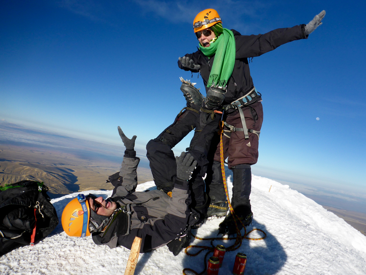
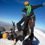
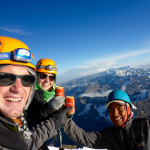
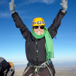
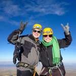
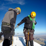
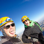
The summit was glorious… and tiny. I mean just enough room for the three of us, which made us thankful we were the last one to summit as there was no one to rush us off for their photo opp. We hugged, danced, cheered and took a couple of sips of our celebratory cervezas and attempted our now signature “Airplane” move only to realize it was going to take a lot more practice before we can do it with crampons. We made to the highest we’d ever been – 19,980 feet – just 20 feet short of 20,000 FEET!

8 Favorite Moments of Bolson & Bariloche

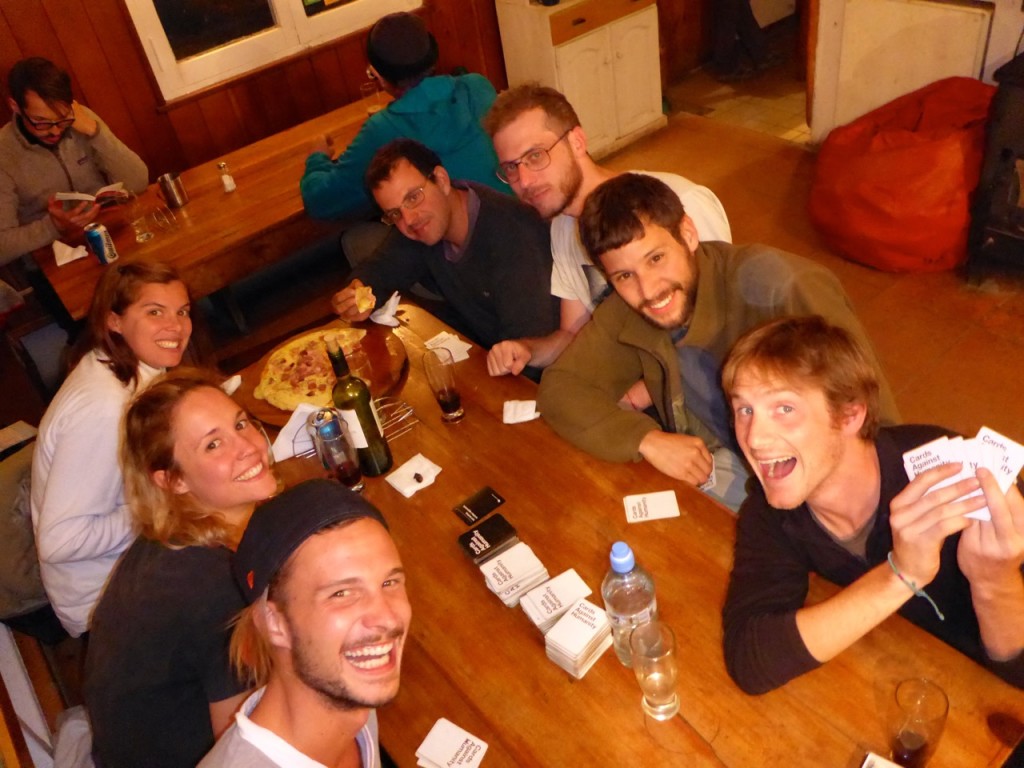
  1. Teaching Cards Against Humanity to new Argentine friends in the middle of nowhere
    We were in the middle of a four-day trek outside of Bariloche and one of the Refugios had Cards Against Humanity. A group of local Argentines asked if we knew how to play and would teach them, so of course we obliged. The funniest part was having to define so many of the cards, things I never really wanted to have to explain to anyone. But we all laughed for hours!P1140168
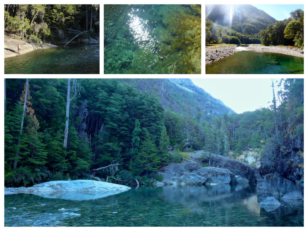
  2. Attempting to trout fish in Cajon de Azul
    We didn’t catch anything, but it was such a beautiful place. It was a good thing that Refugio Cajon de Azul had a lamb dinner for us! It was the most beautiful refugio we went to, I could have stayed there for three or four days.Cajon de Azul Collage
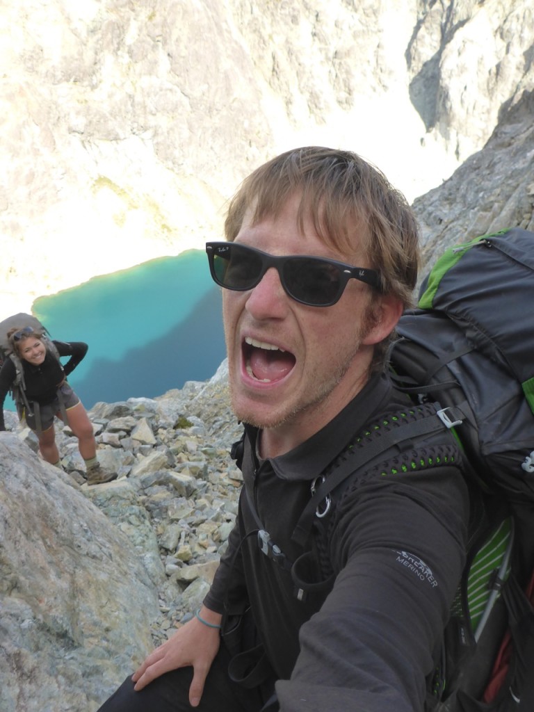
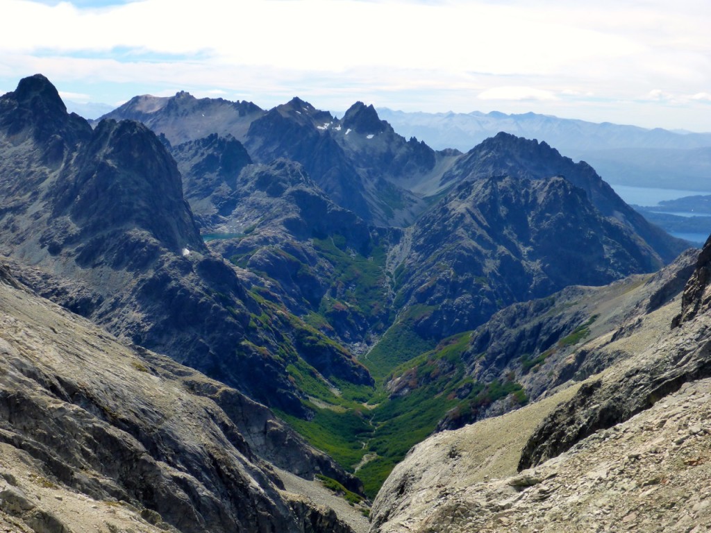
  3. Surviving the Haupi Nahuel Traverse
    Our most technical and mentally exhausting hike to date. It involved rock climbing 50m up a narrow rock shoot on the side of a mountain with a 1,000ft drop below us (probably shoulda had a harness and rope) and 4 hours of ridgeline rock scrambling, followed by 3 more hours of tough hiking.P1140260 P1140296
  4. Experiencing a real asado
    We stayed in a small guesthouse owned by a sweet family who immediately took us in. After a lot of trekking, and then camping our first night we went to “the locals’ butcher” picked up half of a lamb and learned how you make the perfect asado on your parilla.Asado Collage
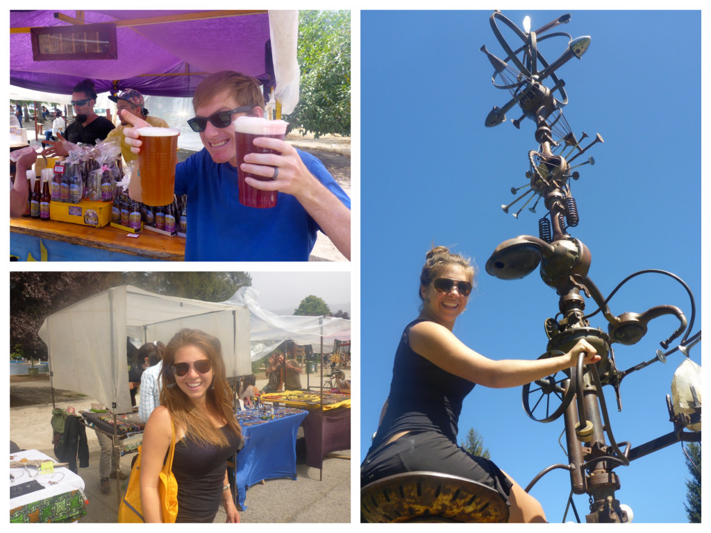
  5. The hippie market of El Bolson
    We just hung out there for hours. Great people watching, good artenseal beer, organic produce. I also scored some feather earrings. El Bolson is Boulder, CO’s long lost twin sister.Bolson Collaga
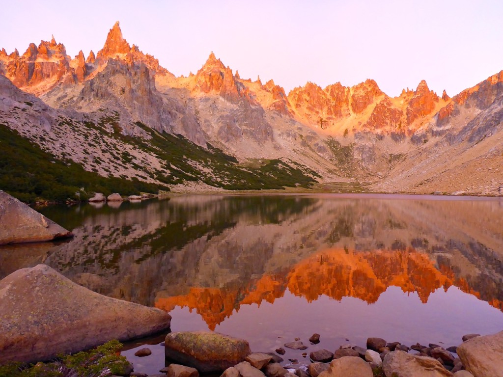
  6. Sunrise at Refugio Frey
    The granite peaks in the background turned bright pink and orange and the lake reflected it beautifully.P1140172
  7. Stopping to pick wild blackberries
    In the middle of our search for a hostel in El Bolson we came across a huge patch of wild blackberries and just stopped for 30 minutes to pick them and eat all we could. They were so sweet, I think I ate a couple of pints there on the side of the road.
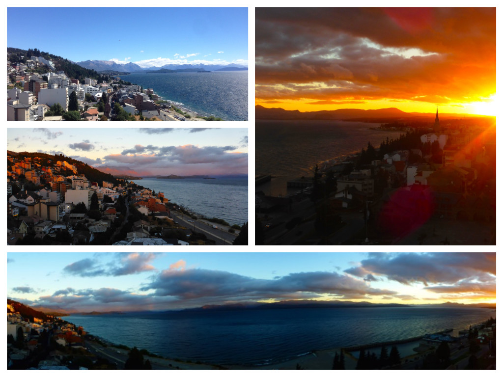
  8. Staying in The Penthouse with a view over Bariloche
    Best view from a hostel room we’ve ever hadPenthouse


El Chaltén: Day 2 Piedras Blancas

Lago Hija, El Chalten, Patagonia, Argentina

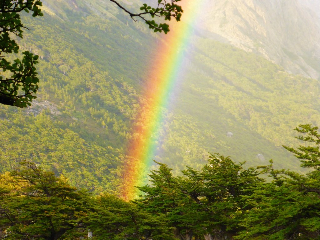
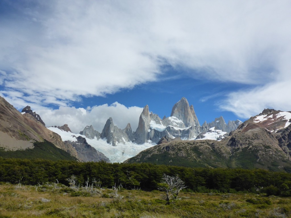
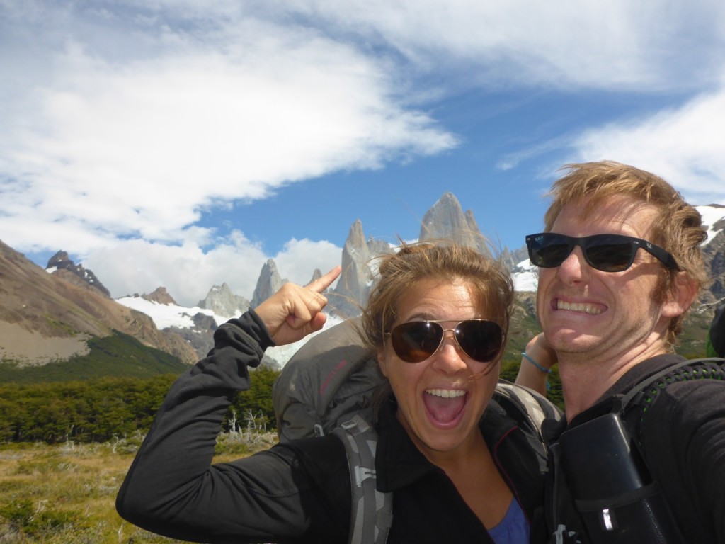
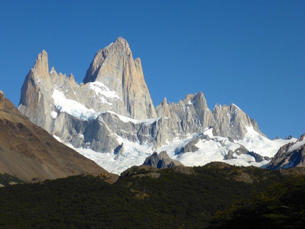
Fitz Roy, El Chalten, Patagonia, Argentina We woke-up to the most vivid rainbow we’ve ever seen just outside our camp. I mean we could see each individual part of ROY G BIV – Hello, elementary school science! And it was a complete arch with a second one right in from of the Fitz Roy Mastiff that was obscured by clouds. It was so bright and so close I really wanted to go find the start of it. We walked a few 100 meters towards it and it always seemed like it was just a few 100 more. So we gave up the hunt for the pot of gold that would have extended our trip substantially. No leprechaun related upgrades for us… yet!

Fitz Roy, El Chalten, Patagonia, Argentina

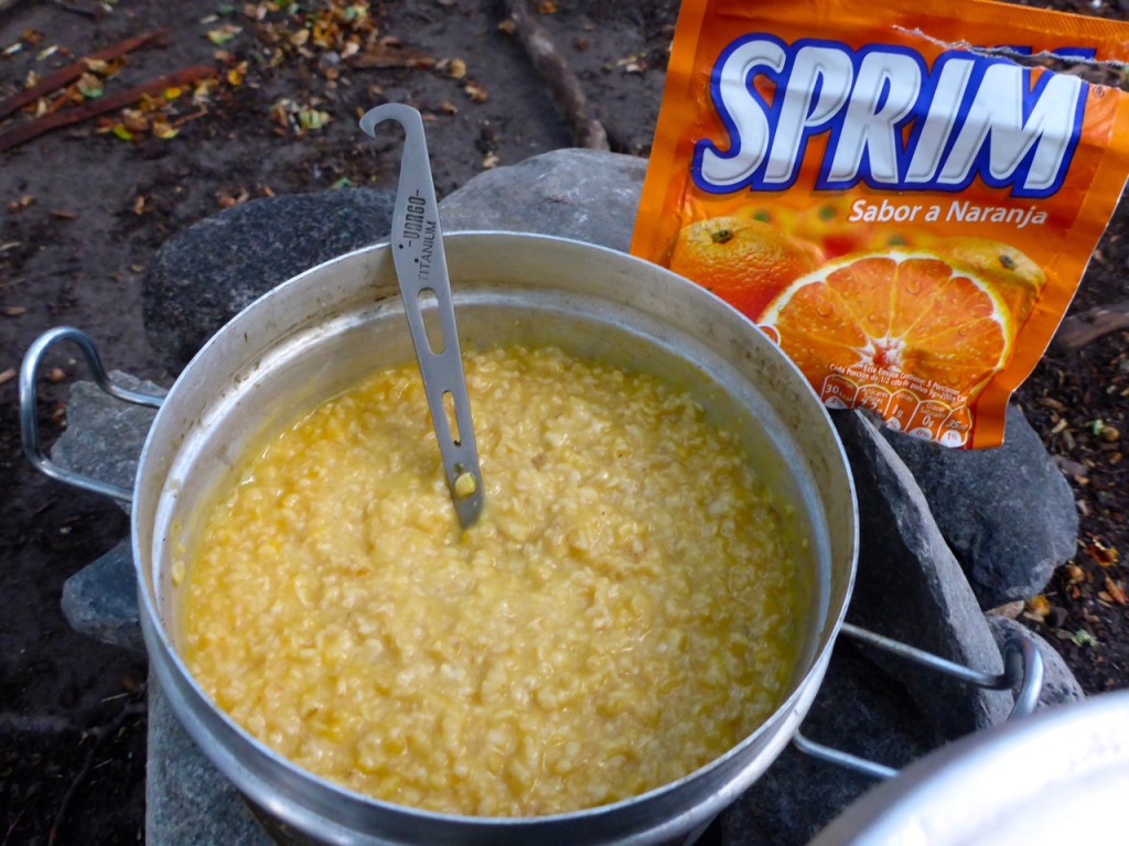
One of the many lessons we’ve learned while camping is that oatmeal is an extremely versatile food. You can make it taste like just about anything. My new favorite breakfast recipe is for Orange Danish Rolls… Make oatmeal as usual then add a 1/5 packet of Sprim (Tang) and a little bit of powdered milk. It tastes just like orange Danish rolls; though the texture is a bit different.

Oatmeal, El Chalten, Patagonia, Argentina

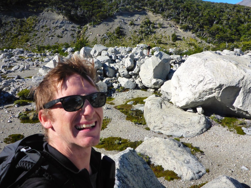
After a hearty breakfast it was time for us getting down to business, so we put on our business socks for a little bouldering at Piedras Blancas. Piedras Blancas is a glacier and lake with a huge boulder field between it and the river about an hour down river from Campamento Poincenot. We climbed around on a couple of the boulders and had a lot of fun. After scoring some awesome views of the glacier and the lake we made our way back to Poincenot to pack up camp and move to Campamento de Agostini.

Fitz Roy, El Chalten, Patagonia, Argentina Fitz Roy, El Chalten, Patagonia, Argentina

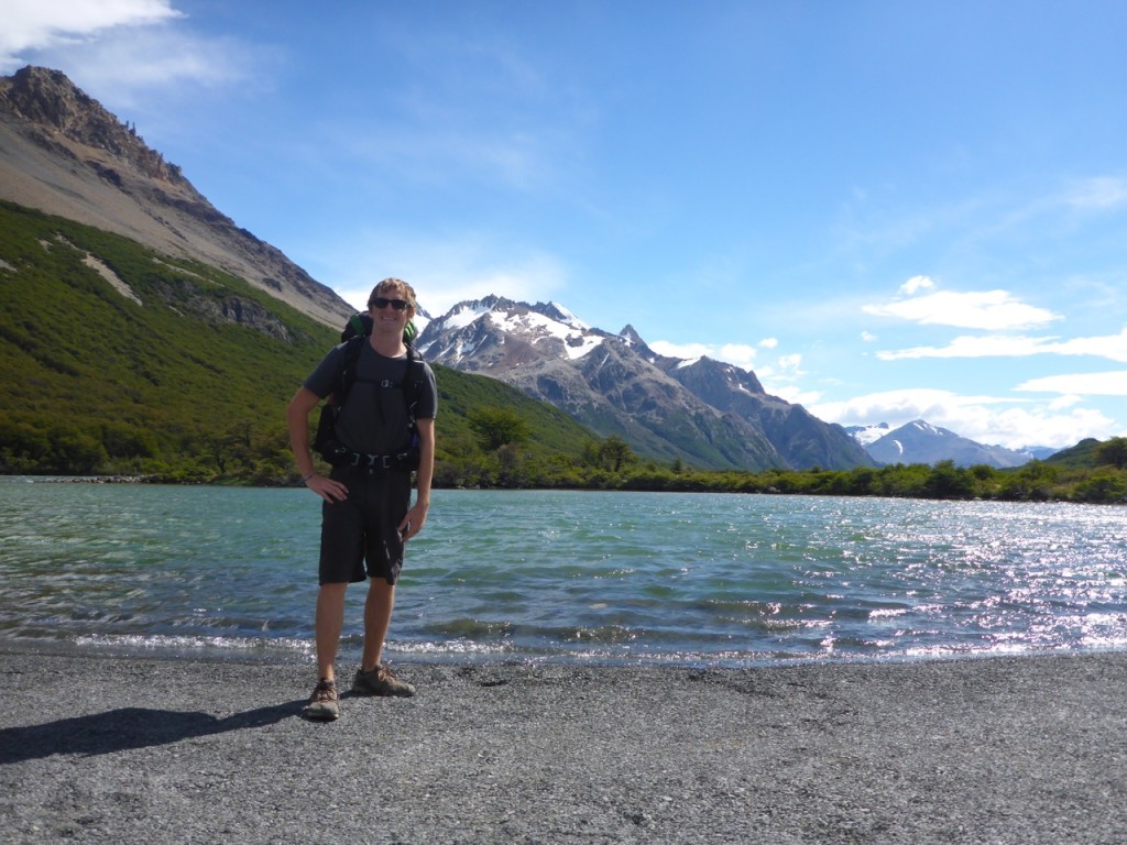
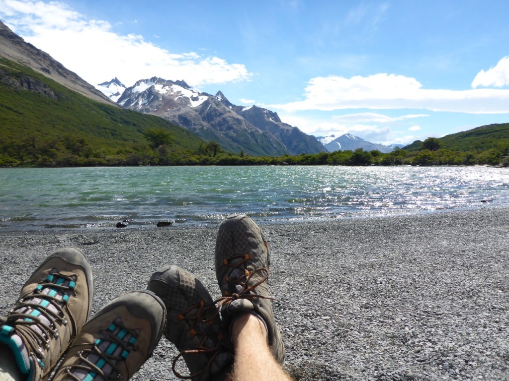
With the wind starting to pick up a bit (as the climbers had predicted) we made our way past Lago Madre and Lago Hija past more stunning views of the mastiff. At the southern shore of Lago Hija we found the coolest little beach with tiny flat and rounded smooth pebbles. We took off our packs and sat down on the beach and it as so comfortable in the sunshine and the wind blowing on our faces. We ended up just sitting and talking there for over an hour. Liz said it might be one of her favorite places we had been on the trip. It was an unforgettable hour. I couldn’t get over the rocks.

Lago Hija, El Chalten, Patagonia, Argentina Lago Hija, El Chalten, Patagonia, Argentina

Fitz Roy, El Chalten, Patagonia, Argentina

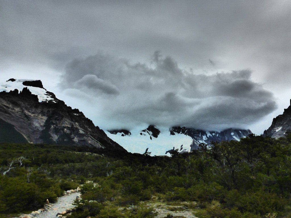
By the time we made it to Campamento Agostini the wind was in full force and we could see the clouds building. We looked at the sky and made the call…

Yep. We bailed.

Fitz Roy, El Chalten, Patagonia, Argentina

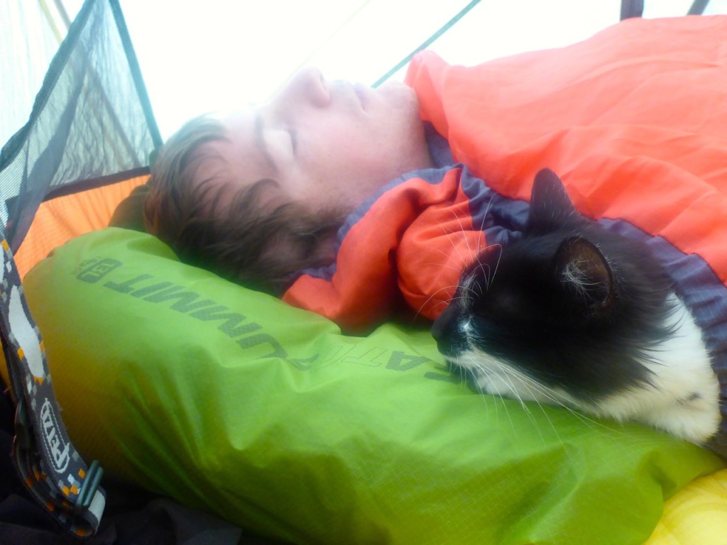
It was a hard decision, unless you looked at the sky, and if the climbers weather prediction held out, which it looked like it would, it would be nasty tomorrow… and the next day… and the next… for the foreseeable future. With no hopes of beautiful vista views and no desire to spend a soggy night in the tent, we made our way back into town. Again, that’s one of the nice things about El Chaltén, you’re almost always within walking distance of town. We found a campsite in town and made a new friend who settled in for the night with us. (Liz’s note: WTH?! Rick is becoming a cat person!!! I do not approve. Ruger does not approve!!! ….and the cat not only kept us up ALL night, but peed on my shoes the next morning. Not. A. Fan.)
El Chalten, Patagonia, Argentina

El Chaltén: Day 1 Fitz Roy

Fitz Roy, El Chalten, Patagonia, Argentina

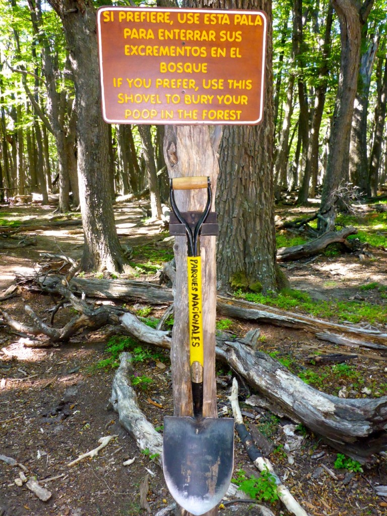
We, surprisingly, had a plan when we arrived in El Chaltén and we were ready to execute. Liz loved the efficiency. We were planning to spend 4 days and 3 nights camping at the foot of the Fitz Roy towers. We knew from our conversations with climbers at Erratic Rock, that had recently come for Chaltén, that our weather window was quickly closing but we thought we could squeeze this little trek in before the weather totally turns to … well… something that would need this shovel.

Poop Shovel - Fitz Roy, El Chalten, Patagonia, Argentina

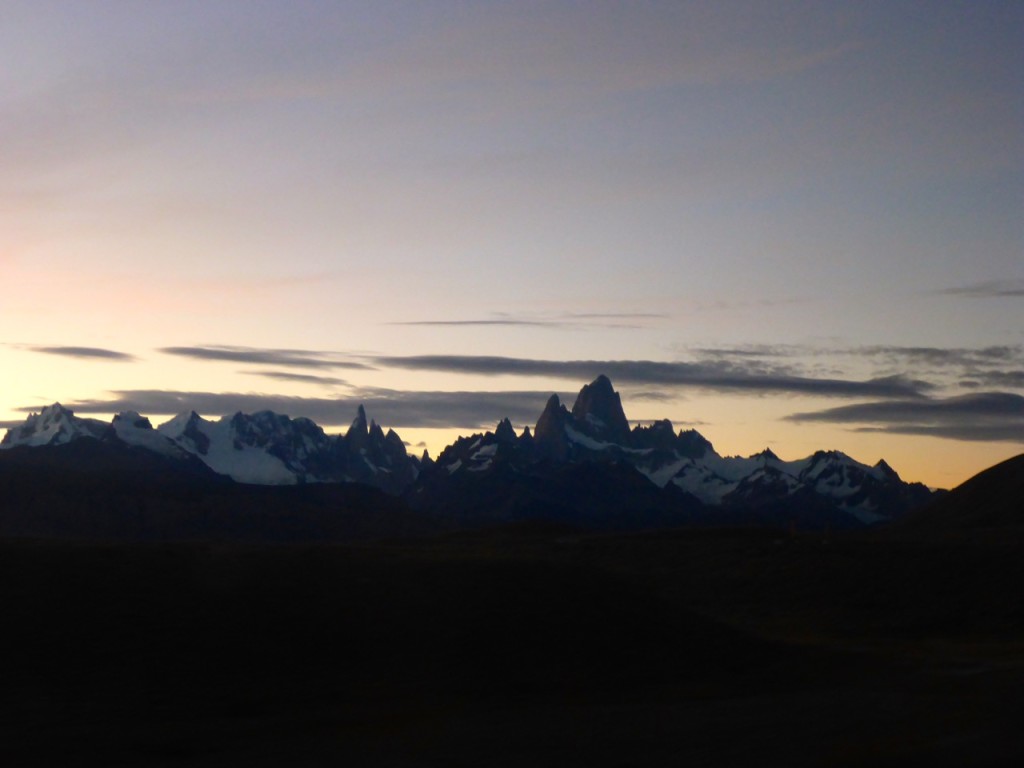
With the sun sheading its first rays of light on the tops of the mountains we made our way to the trailhead at the edge of town under clear blue skies. One of the things that makes El Chaltén “Argentinas Trekking Capital,” is the trails all, basically, starts in town and everything, conceivably, could be done as day hikes. We were climbing up hill in no time; after grabbing a couple of empanadas on the way out-of-town of course. The climbers report promised, “Friday will be perfect.” So far so good.

Fitz Roy, El Chalten, Patagonia, Argentina

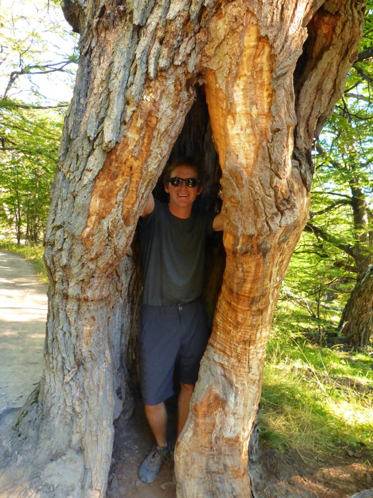
It wasn’t long before I found a place I thought we could turn into a home. Liz insisted the tree wasn’t big enough for the two of us, so we kept moving. Inspired by the towering peaks in front of us we made our way closer and closer to camp.

Fitz Roy, El Chalten, Patagonia, ArgentinaFitz Roy, El Chalten, Patagonia, Argentina

Fitz Roy, El Chalten, Patagonia, Argentina

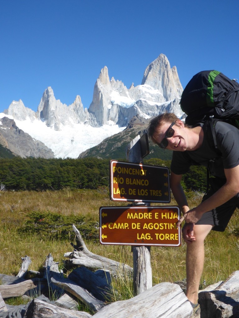
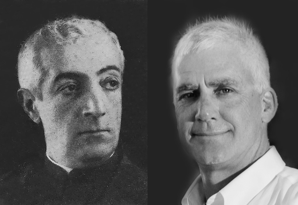
Shortly we came across a trail sign and we new we were in the right place, Campamento de Agostini. I’m starting to think there may be a reason I feel so at home in Patagonia. Padre Alberto María de Agostini was a missionary and explorer in Patagonia in the early 20th century. There is a bunch of stuff name after him down here and I saw a picture of him in a book at Pingo Salvaje… Now I’m sure of it, we must be related.  Padre Alberto María de Agostini on the left, my dad on the right.

Agostini vs Agostin

Fitz Roy, El Chalten, Patagonia, Argentina

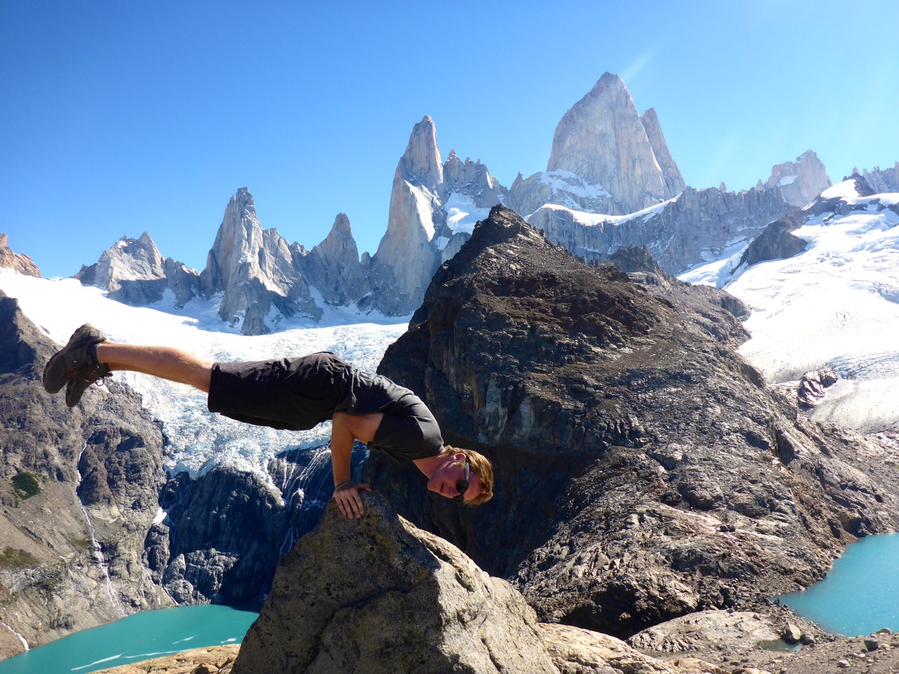
We made it to Campamento Poincenot around lunchtime, so we set up camp and ate a quick lunch then made our way on to the mirador for the Fitz Roy and Lagos de los Tres in the early afternoon. We had wanted to climb the peak right next to it but found out we had to register with the guardaparque to legally climb it, so, maybe another day. With that plan out the window, we had the rest of the afternoon to play around on the boulders around the mirador and just enjoy the views.

Fitz Roy, El Chalten, Patagonia, Argentina

This slideshow requires JavaScript.

Fitz Roy, El Chalten, Patagonia, Argentina

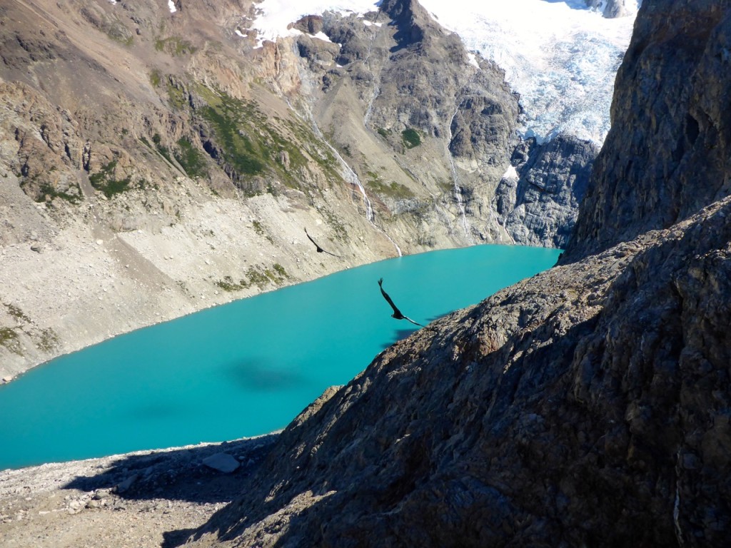
We were graced by a fly over from 3 condors that seemingly came out of nowhere. I barely got a picture of them as they flew right over our heads. They are HUGE up close.
Fitz Roy, El Chalten, Patagonia, Argentina

Back at camp we still had a while before it was dark so I worked on “Camp Improvements” while Liz cook an amazing dinner. Camp improvements loosely translated to me building little walls and wind blocks with rocks and logs.
We at dinner and watched the clouds form over Fitz Roy from our camp and settled in for the night.

Stay tuned for the next part of our Fitz Roy adventure…