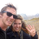
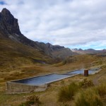
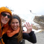
Out on the Mongolian Steppe

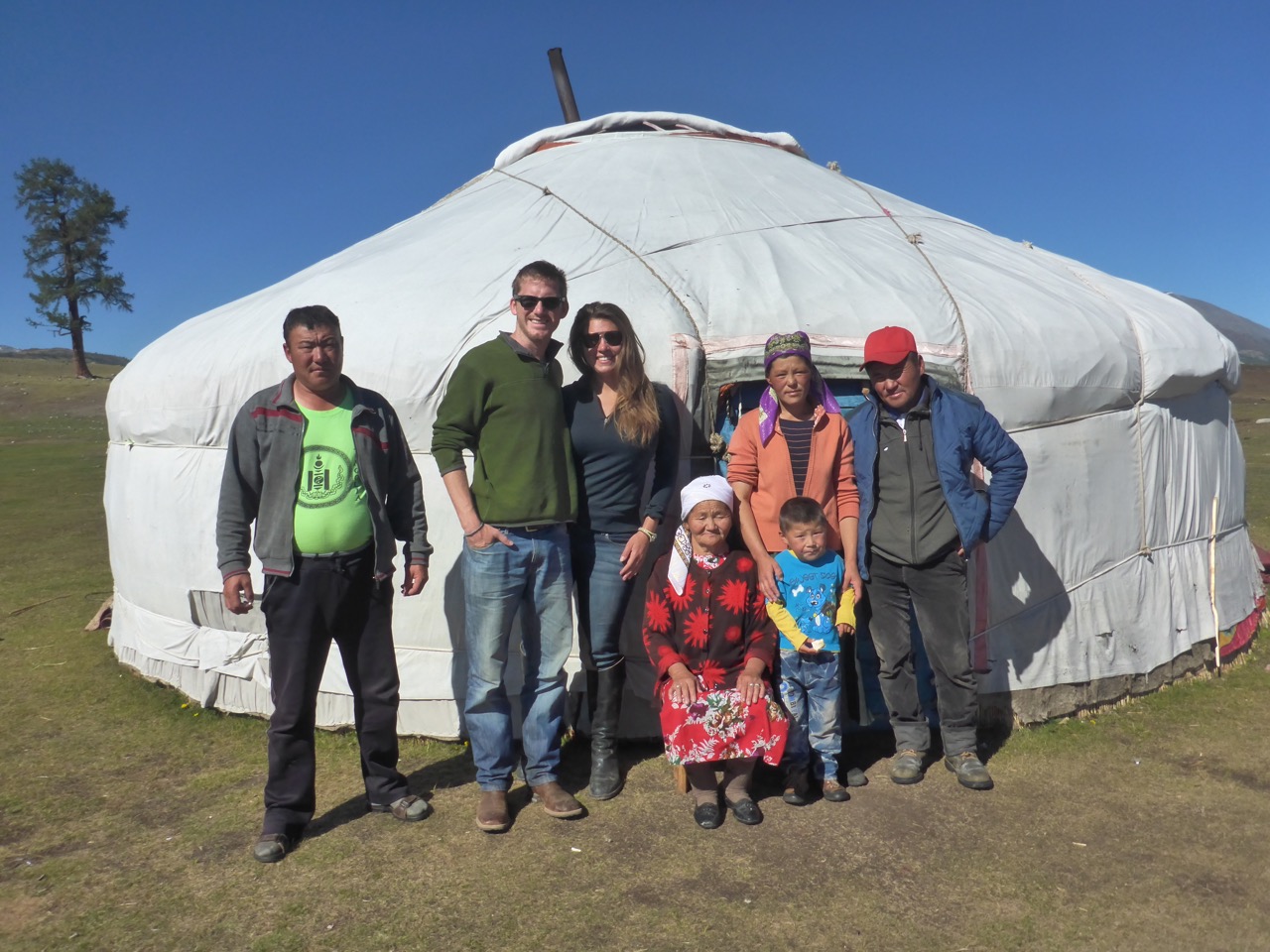
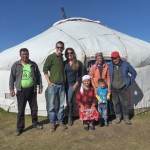
Family Photo # GerLife

My apologies for the complete lack of posts over the last few months years… as you may or may not know, we’ve landed back in the states and have been settling back into life in the US of A. But you’re probably wondering how we ever made it out of Mongolia…

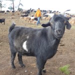
Our last evening at the gar was a special one, as the goats were being milked Erbolot started pulling one of the larger males out of the heard by his horns and almost instinctively “Bruce” knew what was up. 15 minutes later “Bruce” was hanging over the stove smoking, his hide was tanning outside, and his head and hooves were sitting by the door of the gar. It was amazing how quickly and efficiently everyone in the family executed their jobs of dispatching and using every part of “Bruce.”

The next morning after saying by to the family; Liz, Erbolot and I headed out onto the Mongolian steppe on horses while our driver put a few chunks of “Bruce” in the van and drove to our next camp.

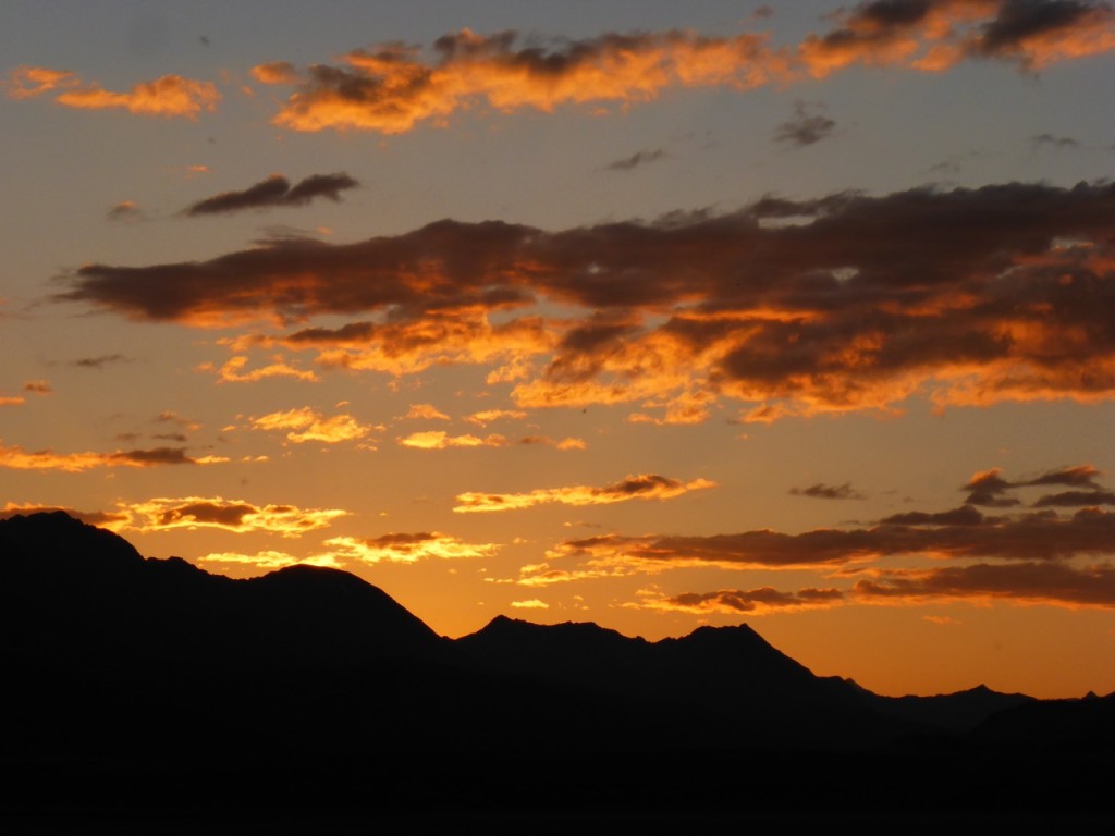
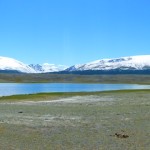
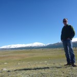
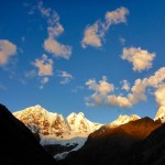
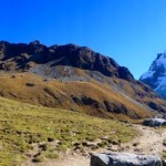
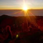
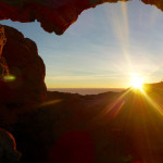
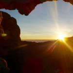
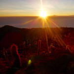
Over the next 5 days we spent half the day riding and the other half enjoying the beautiful surroundings and some pretty amazing sunsets.

Sunset - Tavan Bodg National Park

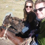
Liz enjoyed every minute on horseback as we crossed fields and streams.

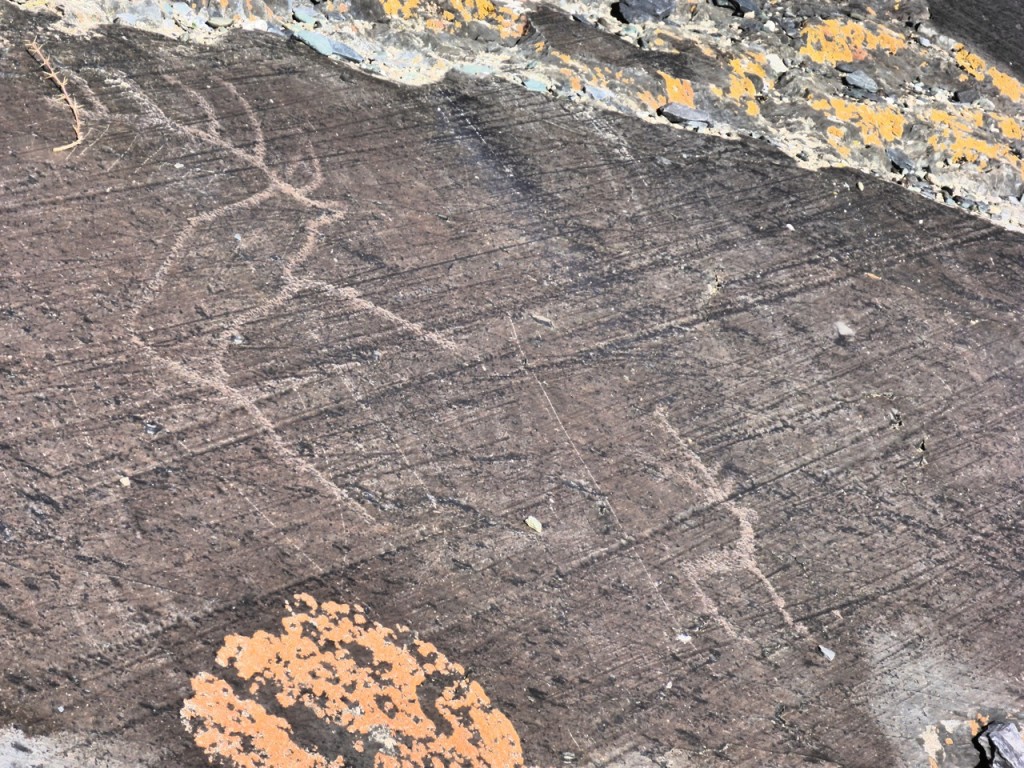
We explored petroglyphs high on a hillside.

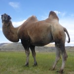
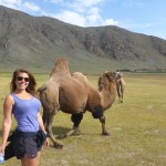
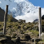
Petroglyphs - Tavan Bodg National ParkWe tried to make friends with some 2 hump Bactrian Camels. But they weren’t having any of it.

We camped out under the stars and enjoyed some wonderful fresh caught trout shared with us by some locals and ate plenty of Bruce.

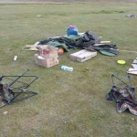
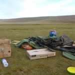
In true Mongolian fashion, we had beautify blue skies and some pretty ridiculous weather. One afternoon we had our cook tent blow down in the wind and unfortunately our day hike to the highest point in Mongolia, Khuiten Uul Base Camp, was a bit anticlimactic in the rain.

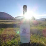
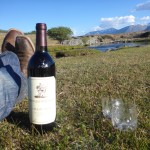
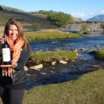
We also enjoyed one last bottle of wine given to us by our good friends Gavin and Becky to celebrate the conclusion of our trip. They sent us off on our journey with an amazing bottle of wine that we enjoyed in Nepal; So it was extremely special to enjoy another outstanding vintage from such a remote vantage.

And before we knew it our time was up and we were rattling through fields back to Ölgii.

Russian Van Races in Western Mongolia

FIFTY. SIX. HOURS.

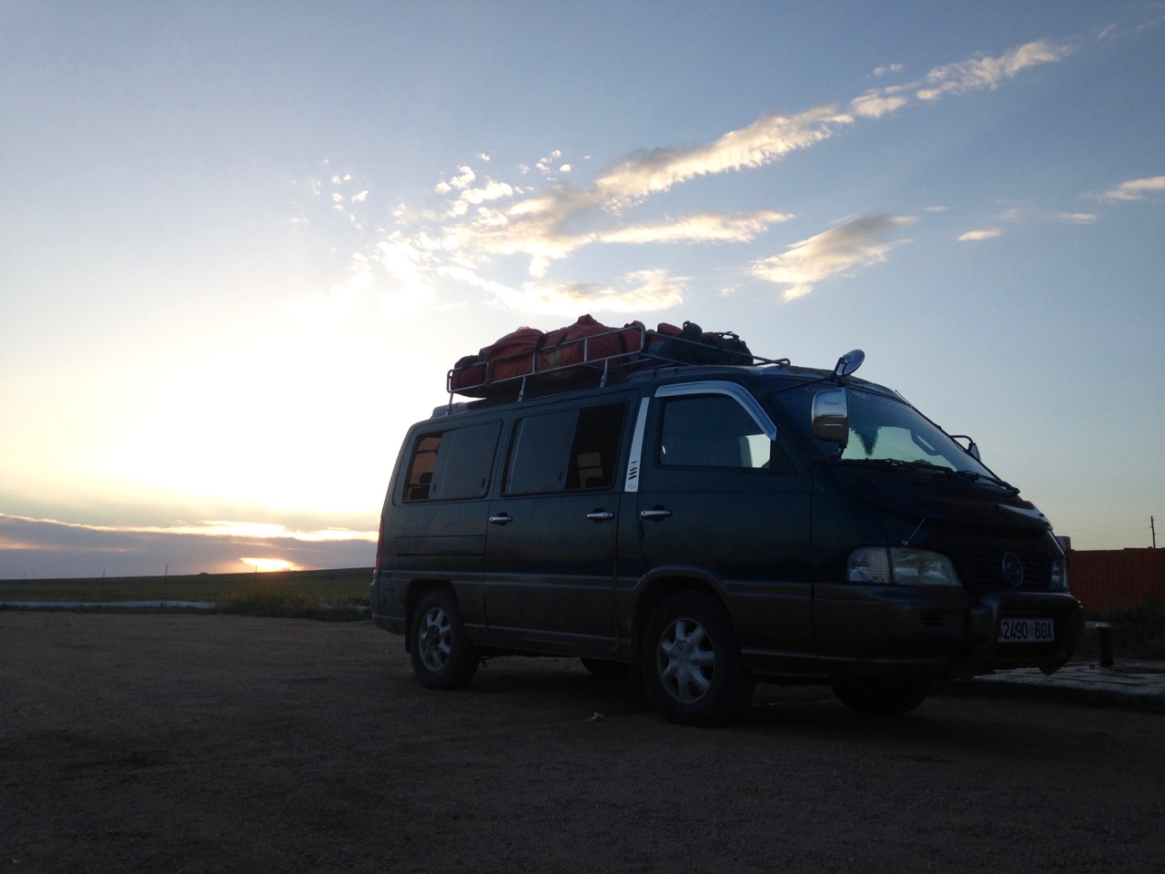
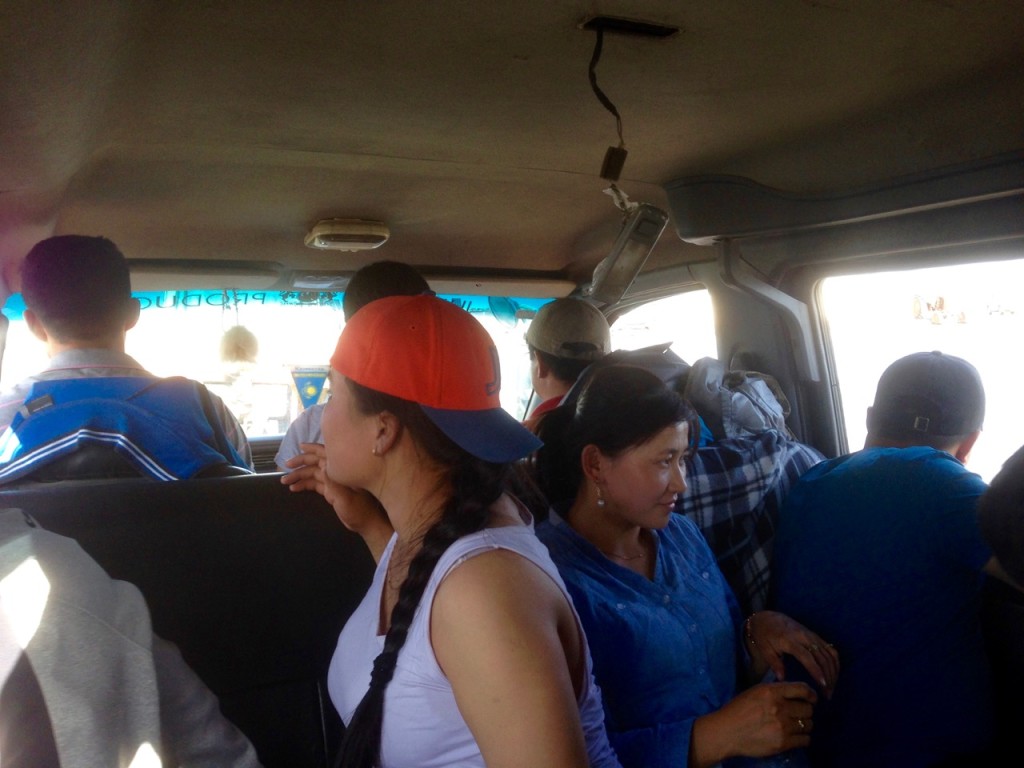
Our Mini Bus back to Ulaanbataar, Mongolia.

Upon arrive back in Ölgii our first order of business was to get a plane ticket back to the capital. We had heard plenty of horror stories of the bus ride from Ölgii to Ulaanbaatar and we were willing to do just about anything to avoid that… anything except spend 2 more weeks in the thriving metropolis of Ölgii, Mongolia.

Apparently August is back to school time, which means every kid in the country is making their way to school … in Ulaanbaatar. Those with means fly and those without take the bus. And with only one airline in the country and only one flight every other day from Ölgii to Ulaanbaatar we were looking at at least 2 weeks before we could get a seat. Any seat!

So, looks like we’re taking the bus. We asked around about how long it should take to get to UB on the bus, “Two to Five Days.” DAYS. DAYS! They are measuring the time in DAYS!

We give up on the plane plan and go to where the buses leave from and start asking prices. It’s basically the same price for a mini bus (11 passenger van) or the big bus, and when they showed us which seats were available on the big bus (for gringo like us) we opted for the mini bus. Hindsight that might have been a mistake, but I have absolutely no plans of ever finding out if the big bus is any better. I think you see where this is going …

We make a deal with a minibus guy and he says that we’ll be leaving at 1:30pm Mongolian time. “Great!” we’ve got plenty of time to get some lunch and get back. So we leave our big bags and go around the corner to grab some lunch. We make our way back at 1:25 to see the last bus pulling out of the parking lot…

WHERE DID OUR BUS GO?
WHAT HAPPENED TO MONGOLIAN TIME?
Where are our bags?

Luckily, a guy in a Toyota, who kind of speaks english, says he’s been waiting for us and to hurry up… we jump in and then make a number of stops at various alley’s picking people up and dropping people off. Even switching drivers at one point. We have absolutely no idea what’s going on but Toyota guy is insisting, in broken English of course, that he’s taking us to the bus with our bags. #Trust

By 1:45 we’re at what seems to be at a combination minibus mechanic/corrugated aluminum sheeting company/family home where the minibus we made the deal with is as well as 4 high school age kids. We arrive as they are wrapping everything up in a trap on the roof where we’re told our bags are. The Toyota guy takes off and we proceed to wait thinking we’re leaving any minute and how lucky we are that it’s just us and some high school kids… plenty of room. You see where this is going …

Three more trips from the Toyota guy later and it’s now a quarter to 4 and we’ve got our 11 passengers. As we start getting in the van we’re told we need to sit in the back. Oh, no. We know this routine. We’re sitting right here in this middle row, we got here first. After a little back and forth they realize this isn’t our first rodeo and give in.

By the time we leave town we’ve made 2 more stops and we are comfortably sitting 5 wide on a 3-person seat with 17 people in an 11-passenger van looking at over 1000 miles of open fields between us and Ulaanbaatar.

Fifty Six Hours across MongoliaThrough multiple breakdowns.

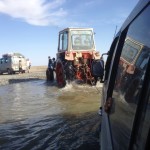
Being towed across a river by a tractor.

And through the nightly karaoke party that seemed to break out at dusk every night.

For FIFTY. SIX. HOURS.

I guess we’re lucky it didn’t take the full 5 days!

Ger Life

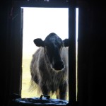
Cow in Doorway Ger Life

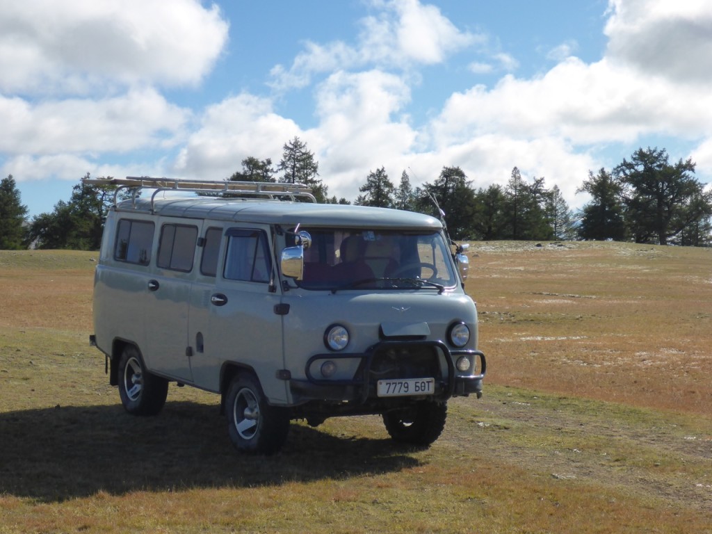
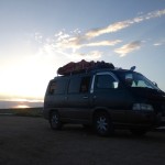
The next morning we meet our driver/guide/”translator” and set out in our awesome Russia van on our private tour. Our tour was going to be a bit different than the typical tour, since it was just Liz, the driver and myself, and we were between typical tourist seasons. The plan was that everything was going to be done communally, setting up camp, cooking, etc. That sounded great to us. We were excited that we’d probably get to do somethings we wouldn’t have on our own and overall just thankful that we weren’t starving to death in the rain walking back to civilization without any horses.

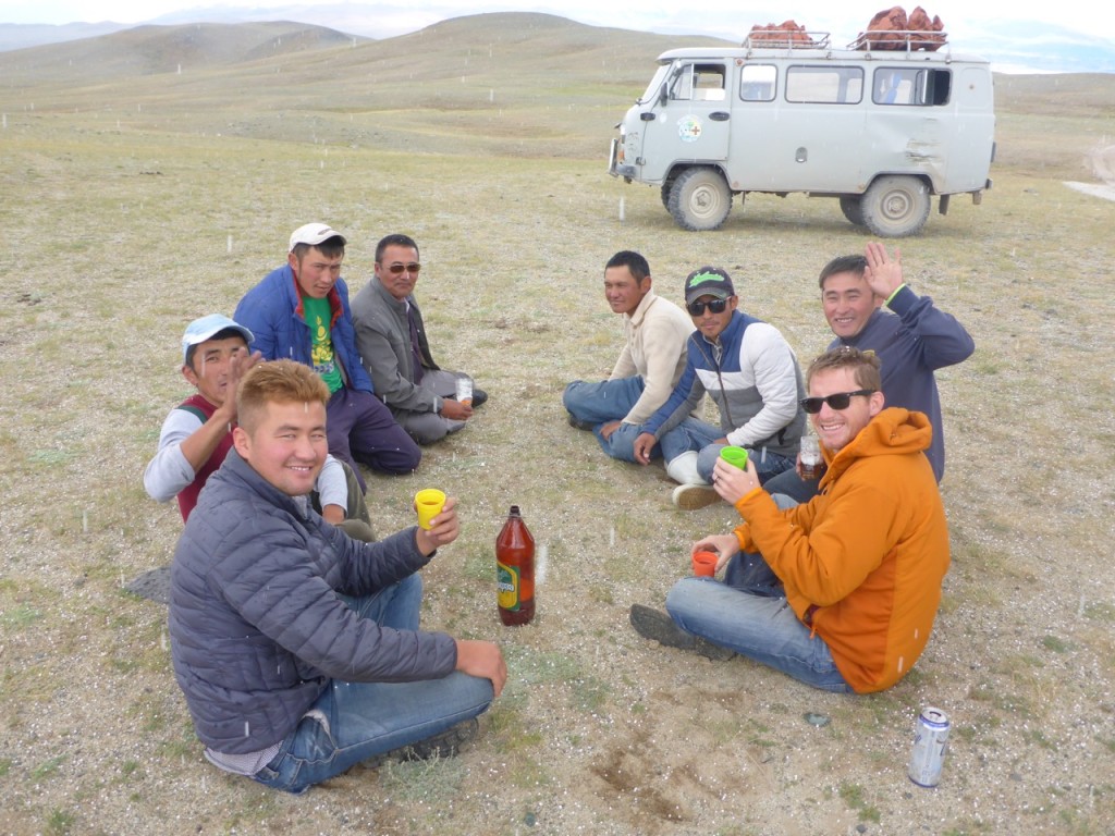
Western MongoliaAs we made our way toward Tavan Bodg National Park we got to experience another first… Russian Van Races. Out here there is nothing paved, roads are more like tracks through a field and are completely optional. Passing is done whenever, wherever and why ever. And they drive FAST! I mean REALLY FAST. Especially if the drivers know each other… and there is some pride on the line. With a bit lost in translation it seemed that the loser provided beer at the next stopping point.

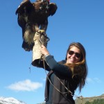
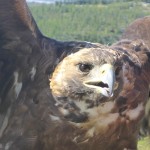
Loser buys beer in Western MongoliaOnce in the park we stopped to visit and Eagle hunter. No. No. Not someone who hunts eagles, but someone who hunts with eagles. It’s basically the traditional Mongolian version of falconry. It was pretty cool. From there it was on to meet the family we’d be staying with for the next few days.

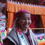
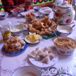
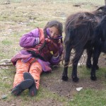
We pulled up to 2 gers with 6 or 7 kids running around and about 500 goats. We were quickly greeted by the kids, our host Erbolot and his wife. They invited us in and promptly offered us tea and an assortment of cheeses. We’d be staying in their ger and experiencing ger life for the next few days before Erbolot escorted us on a 5 day horseback ride around Khoton Lake.

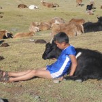
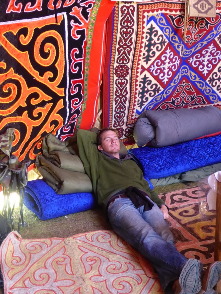
Gar LifeFrom the outside gers are pretty nondescript and all look exactly the same; big round white tents. But on the inside they are absolutely beautiful. Decorated with brightly colored handmade wall coverings. There is a warm stove burning in the evenings and no shortage of dairy products. Liz and I quickly settled in to ger life, milking the goats, eating cheese, playing with kids, and experience the dominant culture in western Mongolia, Kazakh (From Kazakhstan). Oh, and zero English.. It was a great opportunity to practice our Kazakh language skills… which consisted of one word “Рахмет!” which means thank you and is pronounced Rax-met! With a deep guttural hack for the “Rrrrackmet!” They always laughed when I said it but I think they got the idea.

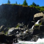
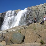
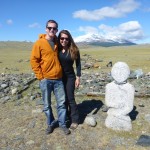
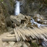
Over the next few days Erbolot and our driver took us to visit waterfalls and other ger families and to some of the regional historical sites. Which, our driver who didn’t really speak much English at all, explained to us as “dead people.”

Ger life moves pretty slowly on steppe … even after almost a year of travel and being out of the corporate rat race, coming to grips with South American siesta, and being OK with only accomplishing maybe one thing for the day, it felt slow. Glacial would be a good way to describe it but it was really nice to relax and just enjoy the wide-open spaces.

Relaxing; Gar LifeLiz and I got fairly proficient at the evening activity.
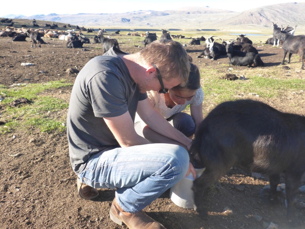
Goat milking.

Milking goats - Tavan Bodg National Park; Western MongoliaFirst my specialty; Goat Roping. First you gotta get the mama goats on a rope to be milked. Some come running; others have to be dragged across the steppe by their horns.

Then came Liz’s expertise; The milking. After a quick tutorial (broken English) she was alternating in with the rest of the ger girls and filing buckets. The oldest daughter (who was learning English in school) was so impressed she asked Liz “How many goats do you have?” … thinking back on it we’re not so sure that wasn’t a joke.

And finally once all the mama goats have been milked and removed from the rope it’s time for that last step and most important step; letting the babies out of the pin.

Huayhuash in the Andean Summer

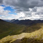
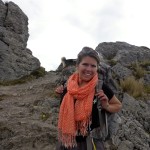
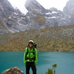
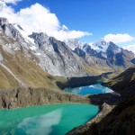
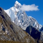
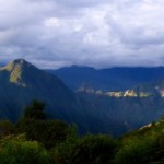
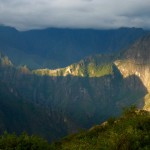
Cordillera Huayhuash, Peru

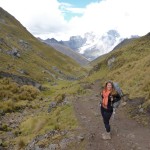
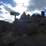
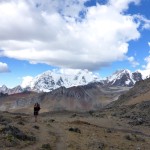
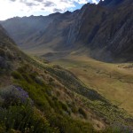
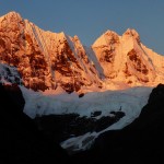
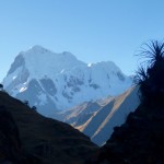
After arriving in Huaraz and looking at all the amazing options for trekking in the area we decided to tackle the big daddy of them all, Huayhuash (Why-Wash). And do it without a guide. It usually takes guided groups 8-10 days with donkey’s carrying all the heavy. The trail spends most of it’s time above 4000m/13,000ft and involves a bunch of passes up to 5000m/16,400ft  After all it’s the “Andean Summer” and this is the best time to trek in Northern Peru, as there is never a cloud in the sky.

We paid a visit to the Casa de Guias (House of Guides) and got ourselves a topo map, talked to one of the guides and came up with a rough plan. We would do 9 days, 8 nights with the option for another night if we needed it. It would be our longest self-supported trek to date.

We bought our bus ticket and were on a bus at 5:00am, on our way… our bus turned into a smaller bus, then due to mechanical issues, back into a bigger bus, and then into a cattle hauler… and then we caught a right in the back of a miners pick-up. As we left the mining camp we had to check in with their security officer. From there we walked for the next hour down a rode with a guide that was meeting his group of 17 hikers later that day at the trail head. And we met our unofficial guide, a very furry and friendly puppy dog. 7 hours after we left Huaraz we were officially hiking!

We felt the altitude as we climbed up the first pass that first afternoon. It was tough, and made us question if we were as acclimatized as we thought we were. Our puppy guide would prance up the trail and then turn and look at us to follow suit, and then after watching us struggle up the trail would come back to where we were and sprint back up the trial, as if he was trying to show us how to do it.

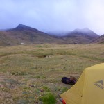
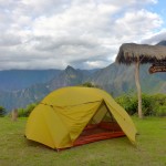
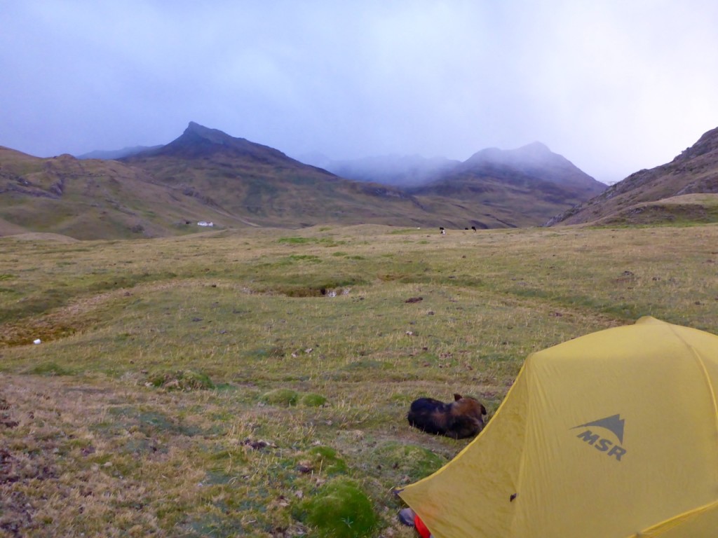
As the clouds rolled in we made it to our first campsite and promptly set the tent up behind a hill in an attempt to block it from the freezing wind, rain and snow flurries that were starting to come down. As we cooked dinner, our puppy guide curled up into a little ball, tucked his nose under his tail and went to sleep… outside our tent. After our last animal tent incident I wasn’t about to let him sleep in our tent, lesson learned.

The next morning clouds were still hanging around as we made up the next pass. It wasn’t as high as the previous one, and had a relatively easy grade, so we were at our next camp before 11:00am. Liz made us a quick lunch while we talked with a couple of locals there at the campsite. They said it was only five hours to the next camp, not big deal, right? Except there was a huge pass between us and the next camp, with the steepest approach of the whole trip. We debated and decided to go for it. We pushed on to the next camp. The weather went downhill almost as quickly as the trail went up. The sleet starting coming down on us again pretty hard, and we couldn’t see the approach to the pass for the clouds. When we finally heard a few claps of thunder, we decided we shouldn’t try and make the pass. We had stopped at one of the most beautiful spots of the hike – with three glacier lakes, upclose views of the mountains and huge ice flows falling into avalanches. We made camp in a little depression next to a big rock to protect us from the storm.

This turned out to be one of our favorite campsites to date. Surrounded by towering peaks, the weather broke just in time for sunset and we got to fall asleep to the thundering crashes of the glacier ice falling. A few times they were so loud we had to reassure ourselves there was a lake and a 50m hillside between us and the glacier.

The morning started out with a few clouds and by the time we reached the pass it was completely overcast again… so much for cloudless Andean Summer. We were making good time though, until we lost the trail in a boggy area. We had to leap frog across a swamp from moss island to moss island to make our way back to it. But soon made it into Huayhuash camp to find it already set-up for a few large groups one of which was lead by the guide we hiked to the trailhead with. We talked with him briefly and he said it was only 4 hours to Agua Termales. Again we lunched and debated on continuing or camping…. As we did, the sleet and snow started up again, along with strong winds. It was cold! And it made our decision for us – at least hiking in the sleet and snow keeps you warm, sitting in camp for hours trying to stay warm is way less fun. Since it wasn’t even noon yet and clouds had covered the sky, we decided to push on the Aguas Termales and figured, even if it was snowing, we’d enjoy the hot springs. They were totally worth it and in hindsight, we should have stayed there for two days.

The next day made us both call our navigation skills into question. We started out with an hour detour because I thought the map made it look like we need to back track like 30 minutes to the trail (uphill!), in reality, we should have only back tracked for about 5 minutes. With the sky completely overcast and heading down into a valley our topo map gave us little indication as to where we were. We got turned around and back on the trail, to make the ascent up the highest pass of the hike.

We hit our stride and the climb up wasn’t too bad at all. Unfortunately, the grand views we had hoped for were eaten up by the clouds again. We couldn’t see anything 75 or 100 meters above us as we went over the pass. As we made our way down, we entered a forked valley and somehow blew right past the campsite we had planned on staying at. We were excited about a plan to do a day hike up to San Antonio pass from that campsite, to see the wonderful views of the full Huayhuash Range. But by the time we realized how far past the campsite we were neither of us were pumped about walking back up hill to try and look for it. Defeated, we decided to make our way to the next camp, which happened to be a small town as well.

As we followed the river down the valley in a straight line we still managed to get so far off trail that a kid on a horse had to show us where to cross the river and ended up escorting us all the way into town. We were unsure at first if he planned to mug us, extort us, or just follow us all of the way to town so we didn’t get lost. But he ended up just wanting to help us and even got us into a hospedaje. Harley was our hero of the day! We were reward for our troubles with a stay in the community hospedaje, where we also restocked on food and treated ourselves to a beer.

In the morning the skies were clearer, and we were prepared to spend a lot more time looking at the map. We made it over our sixth pass without to much trouble and then down to the campsite. It was a little disappointing, no real view to speak of. No wind breaks. And the grass lumpy and spikey. Like when we sat down on the ground to look at the map it poked through our pants. So after looking at the map we thought about decided to see what was around the next bend. We came to a little house, where we paid our fee and we were told it was only 4 hours to the next camp. We just had to push ourselves up another 500m over the pass and then it was an easy hike down to the lake. We made it over the pass and then down to our final campsite next to a lake just in time for sunset.

In the morning after a few false passes and being told by a donkey driver that we had taking the old donkey trail up over the mountain instead of the new easy tourist trail down around the mountain, we finally made it over our eighth and final pass and down to Llamac to catch the bus back to Huaraz… 3 days early!

If you want to see the technical trip report with times and heights etc, it’s here.

Trekking Huayhuash Independently

Cordillera Huayhuash, Peru

These are the technical details from our trek in July 2015 for anyone looking for info on Trekking Huayhuash Independently. If you’re looking for the color commentary and all of our pretty picture you can find those here.

Our original plan was for 9 days 8 nights was something like this:

  1. Huaraz – Pocpa – Janca
  2. Janca – Carhuaccocha
  3. Carhuaccocha – Huayhuash
  4. Huayhuash – Agua Termales
  5. Agua Termales – Nevados Valley Camp
  6. Nevados Valley Camp – up to San Antonio Pass and back – Huayllompa
  7. Huayllompa – Gashpampa
  8. Gashpampa – Lago Jahuacocha
  9. Lago Jahuacocha – Llamac

Here is what we actually did:

Day 1

Huaraz – Chiquian Llamac – Pocpa

Bus: 5:30 am bus from the corner of 28 de Julio and Internacional.

Notes: We switched buses in Chiquian about 7:30-8:00am and had enough time to grab breakfast there. We had some mild bus mechanical issues which put us about an hour behind. Then it was on to Llamac where we paid our first “fee” and switched to a cattle hauler truck (run by the bus company, no less) which we road on top of to Pocpa where we paid our second “fee.” We started hiking from Pocpa and with in 5 minutes we got a ride to the mining camp in the back of a pick-up truck which saved us another ~45-hour of walking. Overall we probably started walking a little after noon. And then another hour or so walking down the road to the Quarterhuain campsite.

Quarterlhuain – Cacanunpunta Pass – Janca

Quarterlhuain (4170m) to Cacanunpunta Pass (4690m) ~2 hours

Cacanunpunta Pass to Junca campsite (4150m) ~1.25 hours

Notes: Not a lot of wind protection at Junca but not a bad campsite.
Cordillera Huayhuash, Peru

Day 2

Janca – Carhuac (Yanapunta) Pass – Incahuain/Carhuaccocha – Tres Lagos

Junca (4150m) to Carhuac Pass (4640m) ~1.5 hours

Carhuac Pass to Carhuaccocha camp (4150m) ~ 1 hour

Carhuaccocha to Second Lake (Lago Siula) (4290m) ~ 1.5 hours

Notes: Because it wasn’t even 11:00am yet when we got to Carhuaccocha we decided we would head towards Ciula Punta but the weather was rapidly depreciating (light rain/sleet/snow and then thunder and lightening). Our map showed the trail going along the East side of the first lake. We followed that and it appears that hasn’t been the trail in a while… a far amount of bushwhacking was involved while we could look across the lake and see a nice clear trail on the West side of the lake. Take the West trail and then cross back over after the first lake. We ended up camping in a nice depression with a big rock for wind protection next to the second lake (Lago Siula). It was also just about the only place to camp between Carhuaccocha and the Pass.
This turned out to be our favorite campsite of the trek.  


Day 3

Tres Lagos – Ciula Punta Pass – Huayhuash – Portachuelo de Huayhuash Pass – Atuscancha (Aguas Termales)

Lago Siula (Second Lake)(4290m) to Ciula Punta Pass(4834m) ~2 Hours

Ciula Punta Pass to Huayhuash camp ~2 Hours

Huayhuash camp to Portachuelo de Huayhuash Pass (4750m) ~1.75 Hours (moving pretty quickly)

Portachuelo de Huayhuash Pass to Atuscancha (Agua Termales) (4365m) ~2 hours

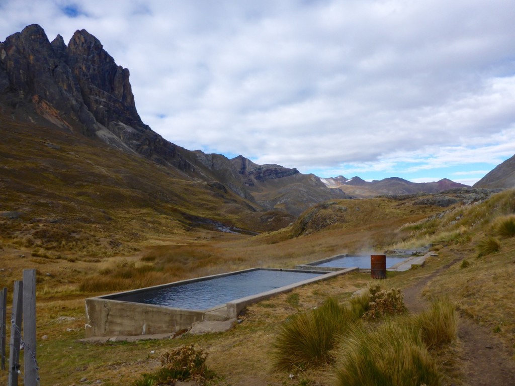
Notes: There were a few big groups at Huayhuash camp when we got there ~noon and the weather was not the best so we figured we’d push it to Agua Termales. Agua Termales was another great camp and the Hot springs are perfect, should have stayed there for 2 days!
Cordillera Huayhuash, Peru

Day 4

Atuscancha (Agua Termales) – Punta Cuyco Pass – Huayllapa

Notes: This is where we really started having navigation issues. We lost an hour walking all the way back to the dame (which is what our map made it look like we should do) in reality you don’t have to back track very much at all, the trail is on the Agua Termales side of the rocks/hill that the trail and the river cuts between.

Agua Termales (4365m) to Punta Cuyco Pass (~5000m) ~1.75 Hours (not included detour)

Punta Cuyco Pass to Huallapa (3500m) ~5.25 Hours (lots of map checks and errors)

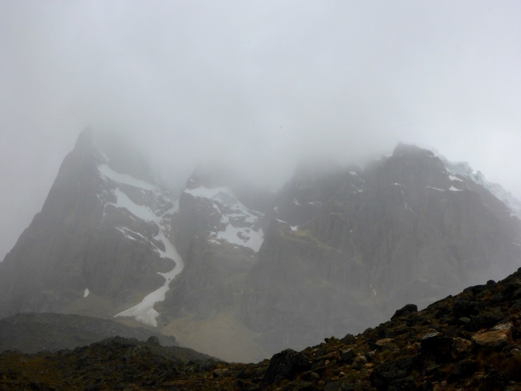
Notes: Coming down the pass we ran into another couple that gave us some advice to “stay left when you get to the swamp… it’s a lot shorter than the right side that the donkeys go.” Hindsight, something was probably lost in translation and this added to our next error. We completely missed the campsite in the Nevados Valley and the trail to San Antonio Pass. Looking back it was probably where the trail split and the left trail went over a little rocky finger that sticks out into the valley and the right trail goes way out around it. Never the less, we never say it and by the time we realized we had completely missed it we were so far down the valley we figured we’d just keep going as the weather was crap and you couldn’t really see any of the awesome mountains we assumed were there.

The trail crisscrosses the river as it goes down the valley and at one point it crosses the river at a little house and it looks like you’re walking up to someone’s house and not the trail. THIS IS THE TRAIL! We didn’t think it was and stayed on the north side of the river and the trail eventually disappears. A nice kid on a horse showed us a bridge and got us back on the trail and basically escorted us all the way to Huayllapa. (Thanks Harley!).

I would not recommend going all the way to Huayllapa.
Cordillera Huayhuash, Peru

Day 5

Huayllapa – Huatiaq – Tapush Punta Pass – Gashapampa – Yaucha Punta Pass – Jahuacocha

Huayllapa (3500m) to Huatiaq camp (4253m) ~2.5 hours

Notes: We never saw official second camp (Incahuain)

Huatiaq camp – Tapush Punta Pass (~4750m) ~2.5 hours

Notes: There is a mining road (wide enough for a truck and tire tracks) that starts big switch back to the left steeply up the hill and there was a small cairn at the corner of the first one with a very small trail heading straight (towards the Tapush peak). We debated a bit and ended up taking the mining road, but at the top they meet up again, I would suggest taking the smaller trail as it looked like it would be prettier thought maybe a bit more challenging.

Tapush Punta Pass to Gashpampa Camp (4625m) ~40 minutes

Notes: Gashpampa was a pretty ugly campground, a couple of out houses (and old outhouse holes) lumpy, spikey grass and not much of a view (especially when it’s over cast).

Gashpampa to Yaucha Punta Pass (4847m) ~2 hours

Notes: As we made our way around Mitishccocha we came to a little house, nice guy and we probably could have camped there much prettier and better camping that Gashpampa. But we wanted to make it to Jahuacocha Lake.

Yaucha Punta Pass to Jahuacocha Lake camp (4075m) ~ 1.5 hours

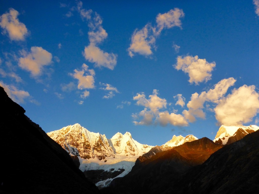
Notes: Jauacocha was a pretty developed camp but the view is pretty epic.
Cordillera Huayhuash, Peru

Day 6

Jahuacocha – Llamac – Huaraz

Jahuacocha (4075m) to Marash Punta Pass (7272m) ~2.5 hours

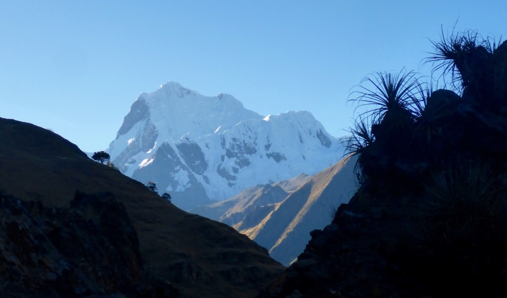
Notes: We followed the sign to Llamac (one of the only trail signs we saw on the entire circuit) and on about the 3rd falls pass a donkey driver passed us and asked us why we went the hard way and not the easy tourist way that doesn’t climb the mountain and just follows the river down to LLamac. Apparently the high road, over the pass is the old way and only donkeys do it now.

Marash Punta Pass to Llamac (3500m) ~1.5 hours

Notes: The bus back to Huaraz stops in LLamac on it was to Pocpa about 10:30am and then passes back through headed towards Huaraz at 11:00am. We also had another delay on the way back as a truck was broken down blocking the road so we waited about 2 hours for it to be fixed. All in we were back in Huaraz about 4:30pm.  
Cordillera Huayhuash, Peru

Map:

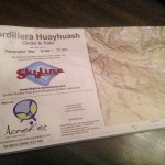
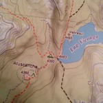
We used the Skyline 1:75,000 topo by Aonek’er. It was a source of constant frustration on the trail as it didn’t really have enough detail (we couldn’t see the peaks because it was overcast). It’s a bit outdated lot of trails (mining roads, donkey trails etc) aren’t really marked so there are a lot of forks that aren’t very obvious which way to go (as there is no fork on the map). They also put icons right on top of major intersections obstructing the trail. There is a better 1:50,000 “German made” map that got a green cover. Bring a compass for sure.

The Trails:

There are LOTS of trails, People trails, Mining trails, Donkey Trails, Cow trails, game trails. And there are almost not trail markers or signs (apart form designating camp sites) and the one trail sign we saw pointed us the wrong way. You get the feeling they really want you to have a guide, because they aren’t marking anything. We spent a lot of time trying to decide which trail to take and often we made the wrong choice and ended up on the donkey trail.
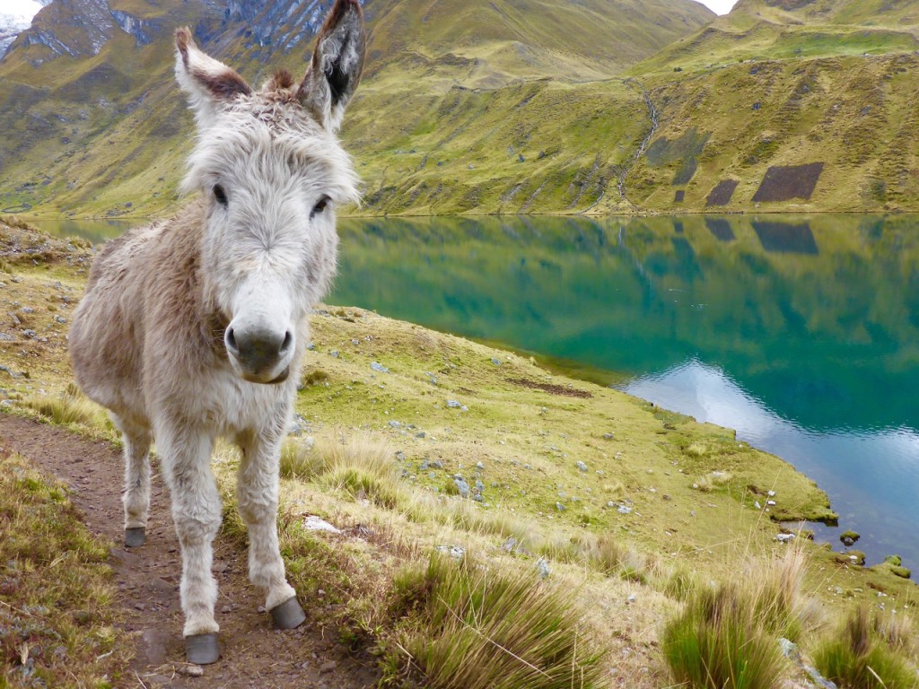
Cordillera Huayhuash, Peru

Locals:

There weren’t a lot of people out on the trail we only ran into a couple a day (usually collecting fees) they were friendly and helpful if you asked. ALWAYS ASK to confirm you’re on the right route.

Water:

Plenty of water all the way, we never carried more than a liter a piece at any given time. But it’s all needs to be cleaned. 

Fees:

All in we paid about 195 Soles per person for our 6 days of trekking (about 2 billetes a day).


Weather:

We were expecting “Andean Summer” with perfectly clear skys and perfect weather. We unfortunately got pretty misserable weather for the first 3 days. Rain/sleet/snow flurries and lots of clouds kinda killed all the views.  

Cordillera Huayhuash, Peru

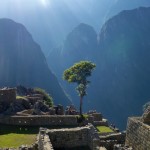
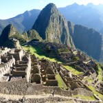
Machu Picchu

Machu Picchu, Peru

After trekking into Aguas Calientes and hearing about the hour and a half hike up the hill from town to Machu Picchu, and knowing that we had to catch our ride back to Cusco in the early afternoon, we decided it made the most sense to just buck-up and pay for the bus ride up the hill. $26 USD apiece round trip… for a 20-minute bus ride. That’s on top of the Park entrance fee and whatever else you spend to get there. Needless to say it’s not a cheap place to visit. #Extortion

Nonetheless we are up at 5am and waiting in line for the bus when the nice lady comes buy to check our tickets and our passport.

“Tickets? I know I put them in one of these pockets. Crap! Liz stay inline I’ll run back to the hostel and grab them from the backpack.”

10 minutes Later I came back and said something like this.

“I lost them. Explicative. Can’t find them. Explicative. They’re gone. Explicative. They must be in Cusco where we bought them. Explicative.”

I am officially the loser now.

Liz stayed calm and said something to the effect of “Calm down and go check and see if they can reprint them in the park office.” I run off to the office is open (amazingly) and they were more than happy to look up my passport number and reprint the tickets for me.

My heart was still racing the whole bus ride up the hill and for probably an hour after. So once we got into the park it felt a little more like Disneyworld than an ancient city. Hundreds of people everywhere, lines, tour groups with bicycle flags. We wisely made our way away from the hordes of people and followed signs towards “Inca Bridge.” Sounded interesting enough and was the opposite direction of everyone else. We were rewarded with a narrow path build right into a cliff face that worked it’s away around the mountain and then ended at a bridge that appeared to be a defense mechanism. Run across the bridge, remove the boards, enemies are stuck. Pretty cool.

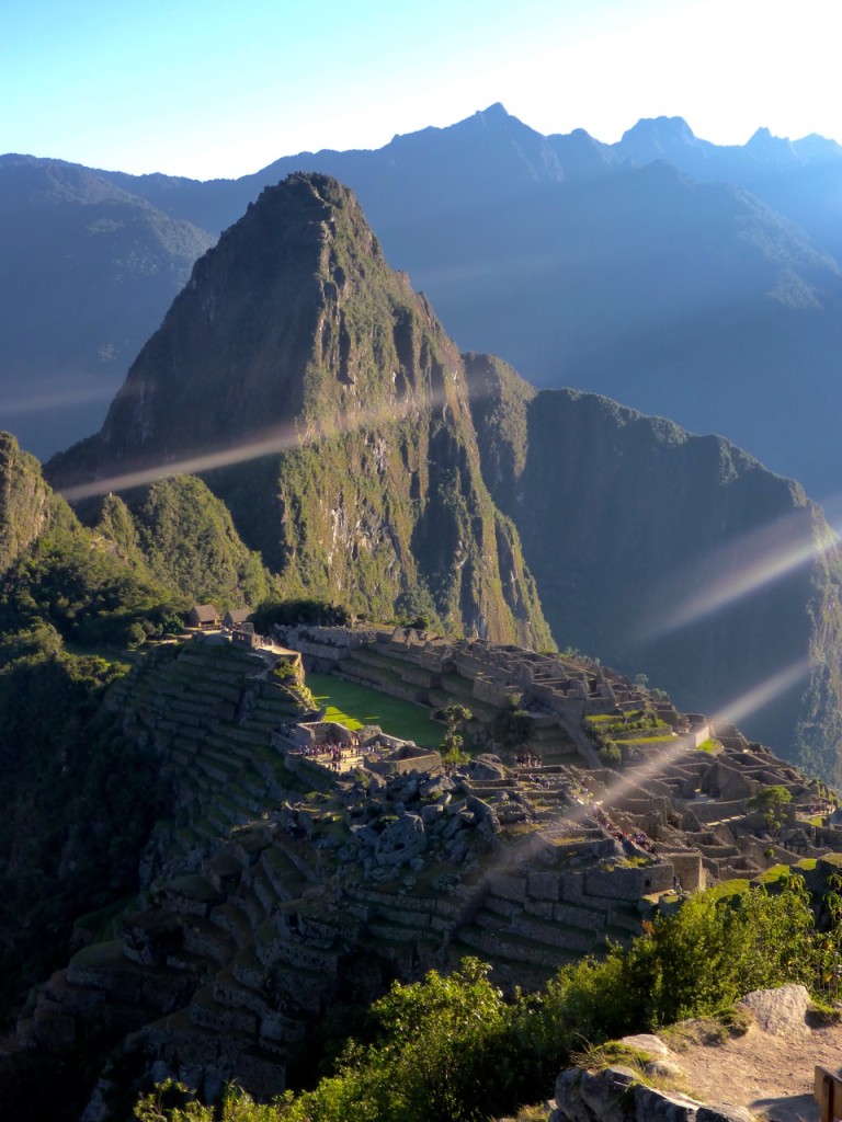
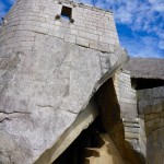
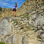
We spend the rest of the morning wandering around the massive maze-like city. Taking a ton of photos and overall just being awed at their ingenuity and the beauty of the valley.

P1200309

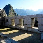
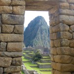
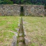
We had learned a bit about Inca construction from our walking tour in Cusco so it was cool to see it play out on a grander scale. As with most everywhere else, the more important things are constructed better. The temples and “important places” are constructed in a way that the rocks fit perfectly together, with almost no gap. Where as common houses etc, while still built well, definitely don’t have the same attention to detail. Even still it’s amazing what has stood the test of time. While a lot of Machu Picchu has been reconstructed, with a little wandering we were able to find some areas that hadn’t been rebuild yet, and they’re surprisingly intact for their age.

It was also pretty amazing seeing how the Incas worked with the landscape. From the dozens of levels of terraces build right into the side of the hill to using the giant boulders in their construction – they really made use of what they had to work with.

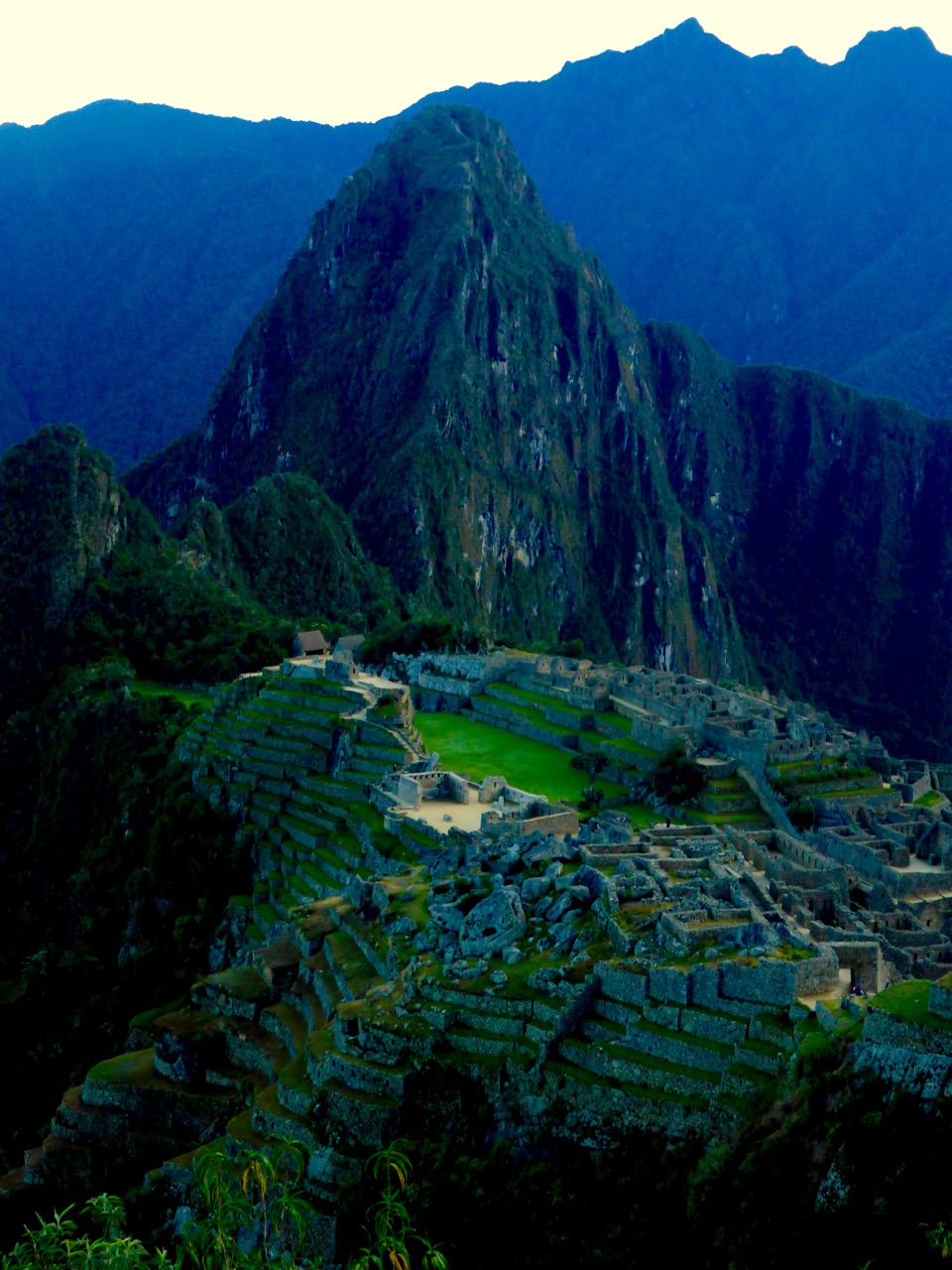
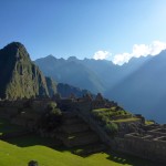
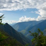
One of the things that we didn’t expect of the sacred valley (though I guess we should have by the name) was just how cool the valley itself is. Machu Picchu sits on this little shoulder between two small peaks on a peninsula in the middle of this valley that is completely surrounded by rows and rows of mountains in every direction. Makes it pretty obvious why the Incas picked this spot for Machu Picchu.

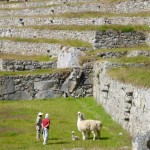
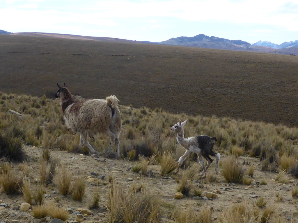
As we were making our way toward the exit to catch our bus we came across a pair of llamas that had just given birth and got to see a baby llama take it’s first steps on a terrace at Machu Picchu. We felt kinda special.

Walk like an Inca: Salcantay!

Salcantay Trek to Machu Pichu, Peru

If you’ve followed this blog for more than a minute or know Liz and I at all you’ll know were not ones to plan things 6 months out. That’s apparently what it takes to hike the “Classic” Inca Trail to Machu Picchu. It’s limited to 500 people a day and books up 6 months in advance… Seriously 500 people a day on a trial. No Thanks.

Lucky for us there are a number of other ways to get to Machu Picchu some of which even involve hiking. After a lot of option weighing we decided on the Salcantay Trek which follows another of the Inca’s many highways through the Sacred Valley on a 4 day trek and includes a 4600m pass. Best part… you can hike it without a guide and you don’t need tickets!

Salcantay Trek to Machu Pichu, Peru
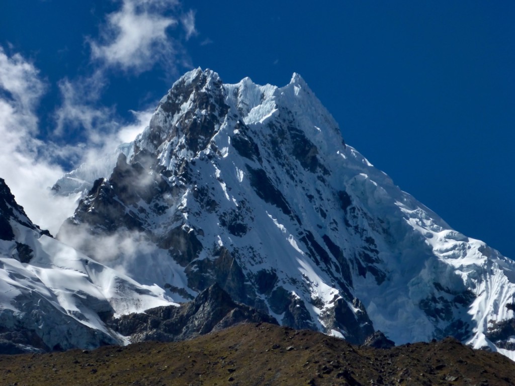
This is Liz’s new favorite mountain, Salcantay.

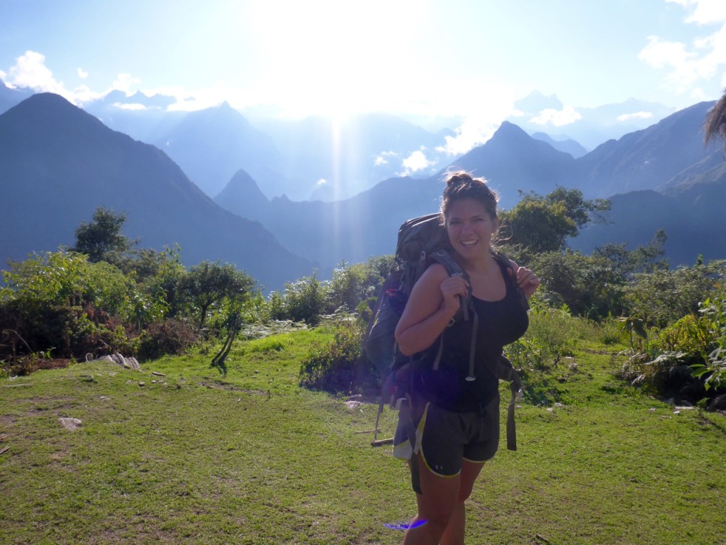
After visiting the local South American Explorers club for a topo map from the 60’s (the latest version) and stocking up on a few supplies for the 4 day trip to Aguas Calentes at the base of Machu Pichu we caught a Colectivio at 6am for the ride to Mollepata where we’d start our journey. We were in luck and got the last 2 seats in the jam-packed mini-bus which meant we got to ride in the front and we didn’t have to wait for anyone else. A quick two hours later we were in Mollepata and I suggest we get breakfast as sort of a last meal before oatmeal for days. We got a tourist breakfast, which came with “orange juice” which not surprisingly turn out to be Tang. Liz pointed out that it probably wasn’t made with filtered bottled water… I shrugged her off and downed both glasses. #foreshadowing

We made our way to the edge of town and up a gravel then dirt road climbing all the way. It was surprisingly hot and when a guy driving past offered us a ride we jump at the opportunity to cut a few minutes off our trek. He drove us for about 10 minutes to where our ways parted and probably saved up 30 minutes of walking in the hot sun. Shortly there after we saw our first, of many, tour groups that were unloading from mini buses and starting their hike. The rest of the first day was a hot up-hill slog with some awesome views.

After reaching a valley and a huge fancy lodge, we found our campsite, with great views of the surrounding mountains. We were tired and wanted to save our energy for the 800m climb to the pass the following morning. The wind was picking up and it was getting cold as the sun set so we were thankful for the small cooking shelter where we made dinner and met another guy hiking independently, Mark. Mark had been traveling Bolivia and Peru and as we swapped stories he mentioned how he always seemed to get a bout of giardia whenever he’s in the Sacred Valley… #MOREforeshadowing

We rose with the sun and started our push to the pass at 4600m. The first hour was pretty brutal, our muscles were cold and sore and it took a while to get warmed up, but once we were the trail was beautiful and we found our rhythm.

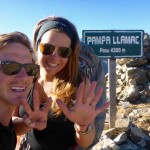
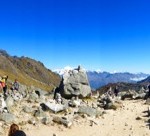
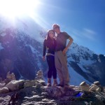
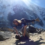
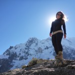
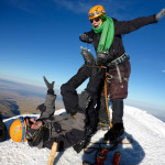
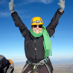
At the top of the pass we were pleasantly surprised to find a summit that was enjoyable and a nice place to hang out for a bit. It was down right pleasant, even in a t-shirt. We took some photos, socialized a bit with some of our new friends, and of course found time to do our signature “airplane at the summit” move! We enjoyed the sunny weather before turning our boots downhill.

After a few hours of downhill I realized I couldn’t suppress it any longer. That rumble in my stomach had grown from “maybe a little gas” to “I think I’m going to poop on myself.” The challenge now was where. Or trail had become a bit of a donkey path with dense vertical jungle to our left and barbed-wire fence and drop off to our right. I decide it’s time to warn Liz of the impending doom.

Honey, I think I’m going to $#!† myself.

And so starts the search for the perfect location… make that any location. Did I mention the team of donkeys and porters we had just passed about five minutes ago that are hot on our tail?

Eventually, as the pressure builds, I get less selective and I find the perfect place to hang off the edge. At this point there is no longer any questions… I should not have drunk the Tang. We hobble into the next campsite about an hour later and Liz enjoys a cold beer with our new friend Mark while I head straight for the bathroom. After about an hour, a dozen trips to the baño, a few Peptos, a prescription strength anti-diarrheal, and a Gatorade, I’m feeling semi-confident I can probably make it 30 minutes down the trail to the next campground where we planned to camp.

We made it and were greeted with a beautiful site right in the middle of the valley. I collapsed on the ground while Liz set-up the tent, cooked dinner and suggested I take some of the hydration salts she had ever so wisely suggested we carry with us on all hiking trips. After dinner I perked up a bit before feeling a bit ill again and deciding I needed to go to sleep.

The next morning I felt worlds better and when Liz ask if I was up for the alternate route I was game. It was downhill-ish for the first 3.5 hours until we reached La Playa where the trials split, one climbs 800+m uphill to Llactapata (another set of ruins) and the other down to the tourist town of Santa Teresa and the hot springs. We started uphill at about noon and it was absolutely sweltering. We’d hike for 15 minutes then rest in the shade for 5 but eventually we made it to the top of the mountain and the Llactapata ruins from which you can see Machu Picchu across the valley.

Our campsite for the night was a few minutes down the trail and had an even better view of Machu Picchu. It was a pretty magical sunset. Then it was up early the next morning for the big walk down the hill and along the train tracks to Machu Pichu Puebo, Aguas Calentes, The tourist town at the base of Machu Picchu. The entire town is basically there to support the tourism of Machu Picchu.

Salcantay Trek to Machu Pichu, PeruSalcantay Trek to Machu Pichu, Peru

Climbing Huayna Potosí

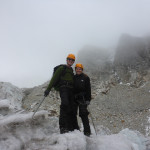
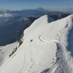
Summit of Huayna Potosí

Huayna (pronounced Why-Na) Potosí hits 6088 meters (that’s 19,980 feet!) above sea level in the Cordillera Real, about 2 hours outside of La Paz. It’s considered by many to be the first technical mountain above 6000m that most people will ever climb. That seemed like a good enough reason for us to try and tackle it. With La Paz acting as a base camp of sorts for acclimatization at almost 3500m it’s only a 3 day trek to the top. With this being our first technical climb, we went with a guide.Huayna Potosí
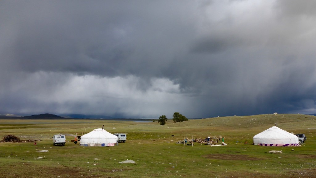
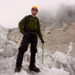
After meeting our Guide we went by the Altitude6000 depot to get outfitted with a few things we didn’t bring on the trip, specifically mountaineering boots, ice axes and crampons! Unfortunately I had sold my crampons in a garage sale before we left – you know, since I only got to use them on one trip down the drive way in Dallas during an ice storm.

Llamas on the way to Huayna Potosí

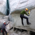
After driving up to base camp at 4700m we ate lunch and then took a short hike to Glacier Viejo to familiarize ourselves with our gear. This turned out to be more like an Ice Climbing 101 class and was awesome. Liz was a natural.

The next day we hiked up to high camp at 5130m with all our gear. After reaching high camp we dropped our gear, ate lunch and then climbed a little higher to try and help us acclimatize a little more. Then it was rest, rest and rest the rest of the afternoon; We would be waking up at midnight for our six-seven hour push to the summit.
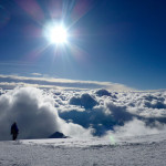
With a full moon and headlamps we strapped on our crampons and started up the mountain. Huayna Potosí doesn’t mess around. It starts off steep right out of high camp and didn’t let up. As we climbed we were entertained by cloud-to-cloud lightening off in the distance. It’s something else to see lightening when you’re eye level with the clouds.

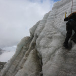
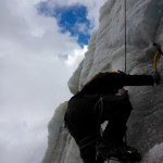
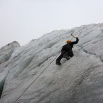
We got to practice our newly acquired ice climbing skills in the dark on a 15m wall that marked the halfway point.
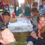
From here on out it seemed like every step was twice as hard as the previous. Our guide was a huge help at this point as he was constantly motivating us to keep slowly moving up the mountain. After our Kilimanjaro experience we we’re to big on racing up the hill and were more than happy to the few other teams on the mountain pass us up. The only prize for getting to the top first is that it’s still dark and freezing cold!
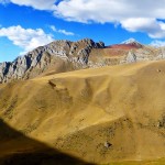
Climbing Huayna Potosí

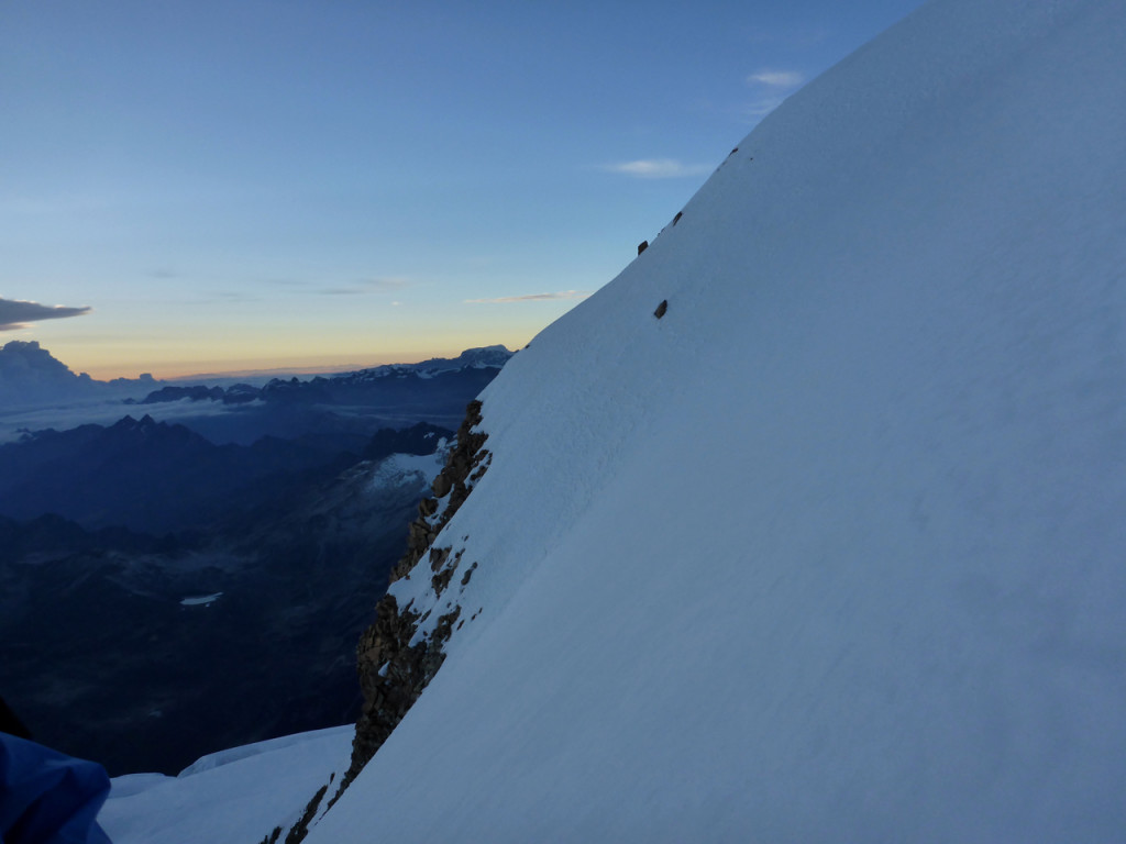
As the sun started to peak over the horizon we could see the summit with in reach and that was just the encouragement we needed for our final push.

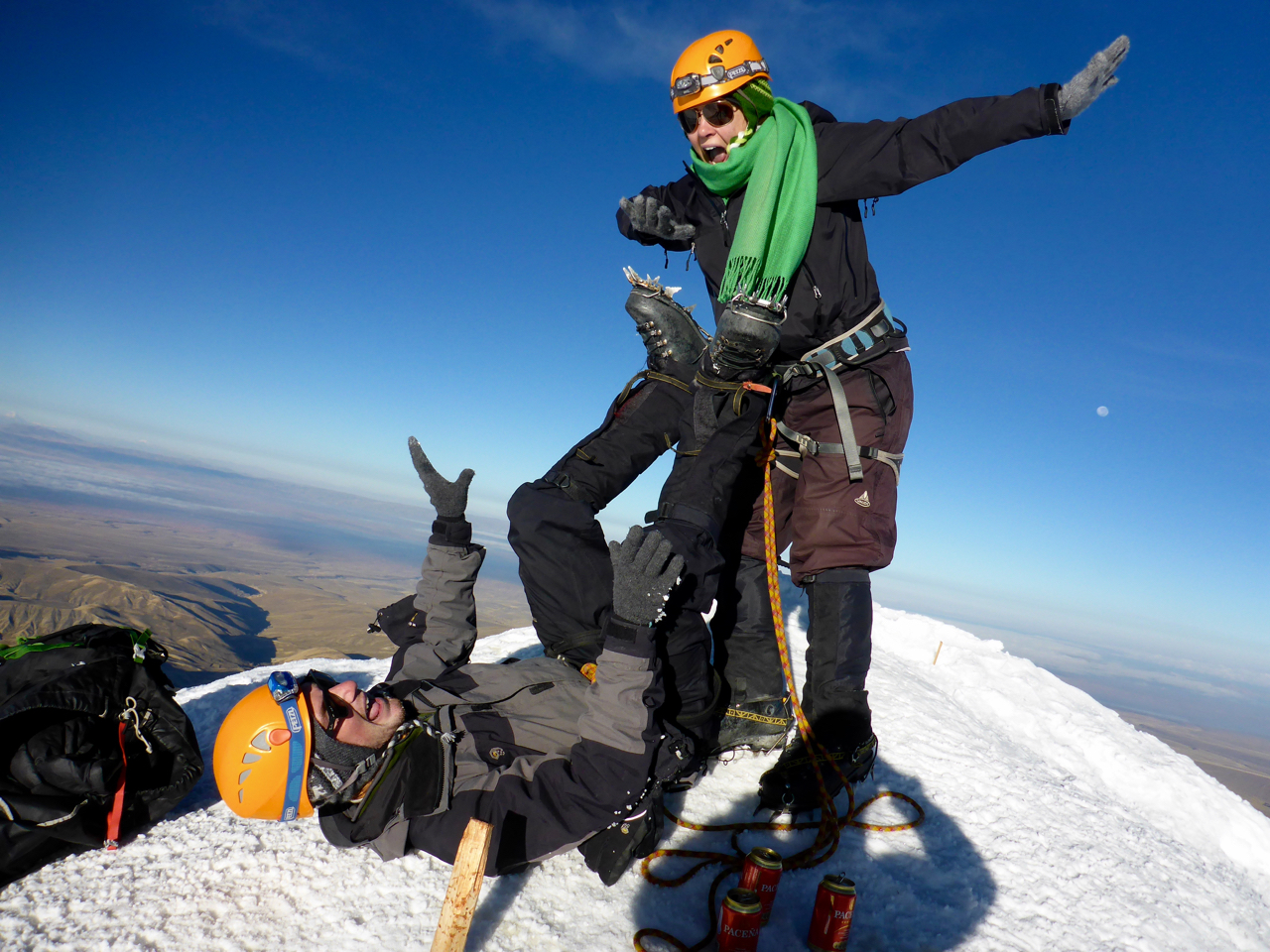
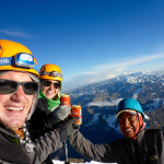
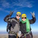
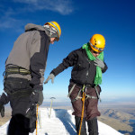
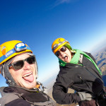
The summit was glorious… and tiny. I mean just enough room for the three of us, which made us thankful we were the last one to summit as there was no one to rush us off for their photo opp. We hugged, danced, cheered and took a couple of sips of our celebratory cervezas and attempted our now signature “Airplane” move only to realize it was going to take a lot more practice before we can do it with crampons. We made to the highest we’d ever been – 19,980 feet – just 20 feet short of 20,000 FEET!

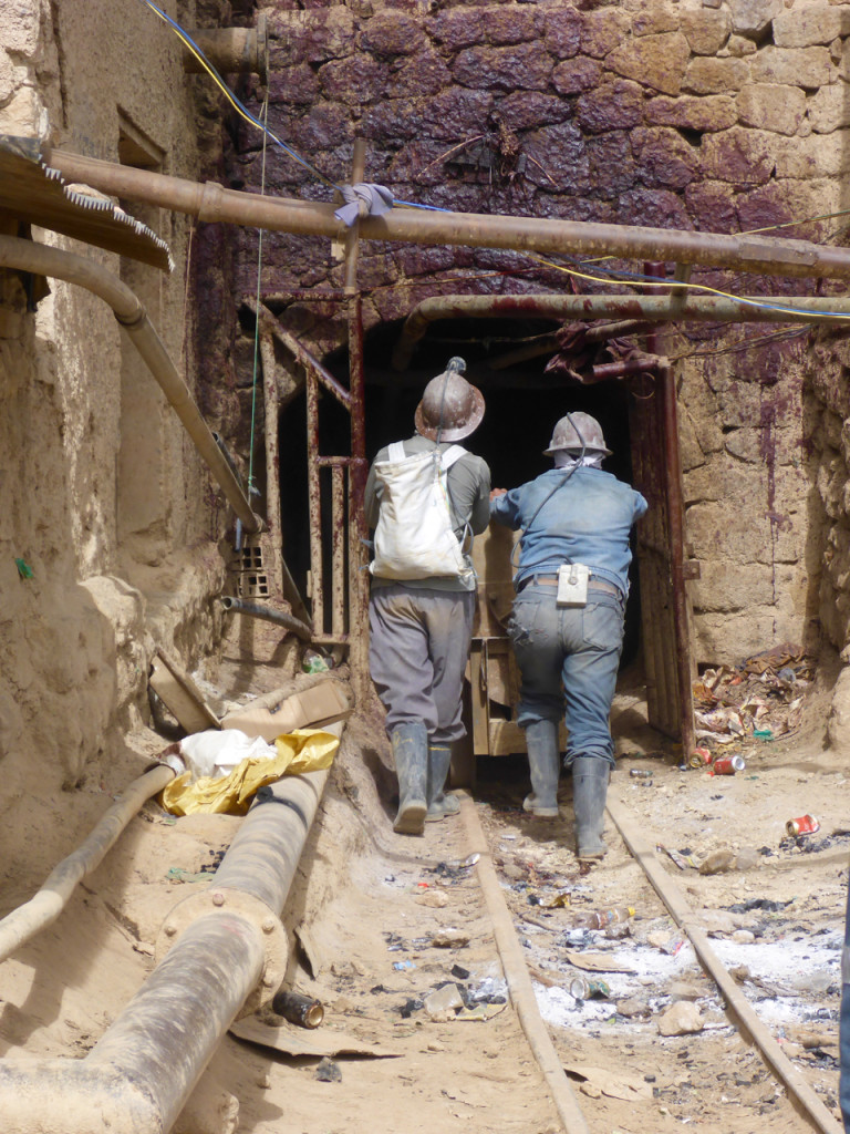
The Silver Mines of Potosí, Bolivia

Silver Mines of Potosi, Bolivia

Silver Mines of Potosi, Bolivia

After the Spanish conquistadors made their way to South America the silver mines of Potosí, Bolivia floated the Spanish economy for over 200 years. Now thousands of Bolivian men (women are bad luck in a mine) support their families in the free-for-all that the mines have become. The mining rights are extremely loss and when mine shafts cross they often result in physical fights over who owns what. The labor is extremely physical and life expectancy for many of the jobs in the mine is 10 years. That being said, we jumped at the opportunity to go into the mine with an ex-miner.

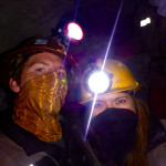
After dawning some “protective” clothing, helmets and a headlamps, we went to the miners market for coca, dynamite and some 96% alcohol, a miner favorite; all gifts for the miners we would be visiting. Chewing coca leaves is supposed to help with the altitude, low oxygen levels, as well as increasing alertness among other things. The alcohol is basically cheap Everclear, which is a lot easier to carry hundreds of into the mine than a case of beer (though we saw plenty of beer cans inside as well). And the dynamite… it’s for blowing things up.

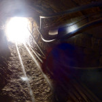
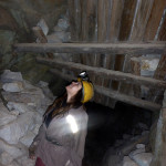
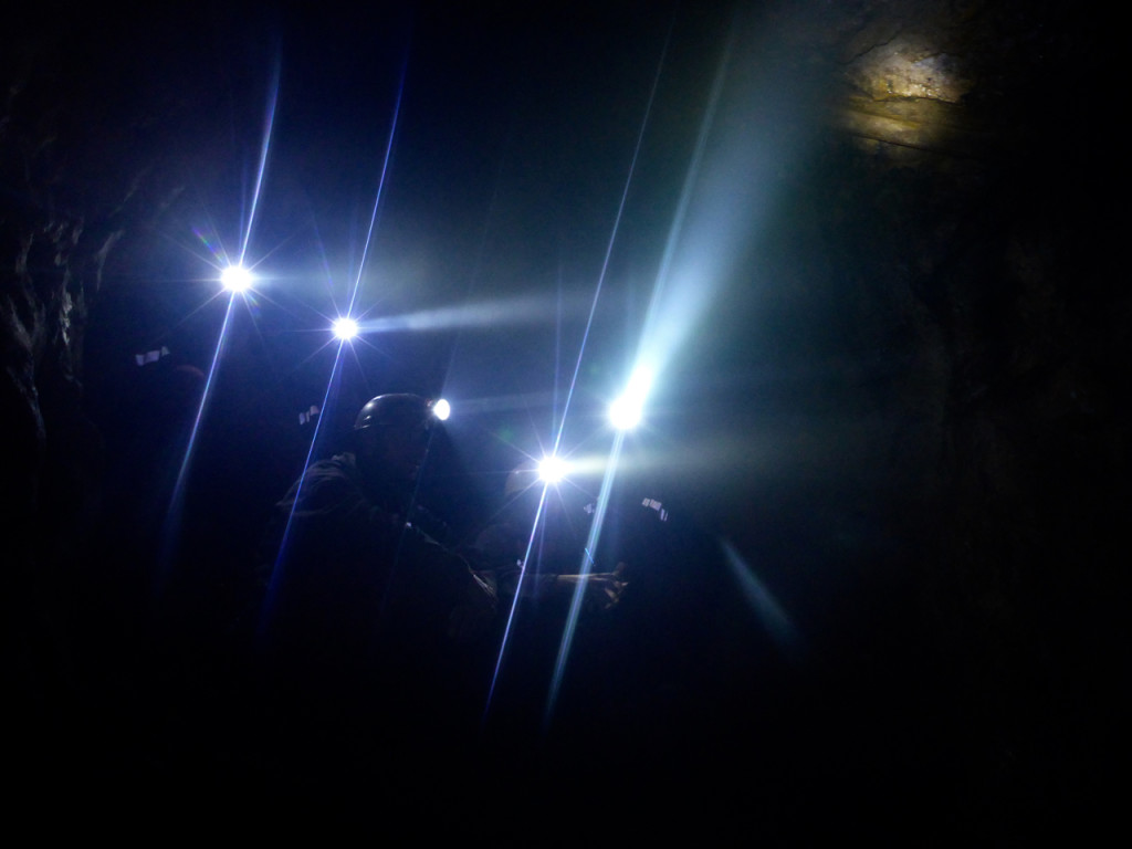
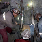
Inside the mine was a labyrinth of tunnels, ladders, shoots and rails all to extract every last mineral in the mine. It went from dark and cold, to dark and steamy, to dark and dusty.

Silver Mines of Potosi, Bolivia

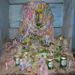
Our guide, who’s father still worked in the mine, kept us from getting lost as he gave us some of the history of the Potosí mines. One of the interesting stories was how he explained the religious beliefs of many of the miners. When Christian missionaries came to South America, they introduced the miners to Jesus and the devil… which the minors add to their list of things to worship. Inside the mines to can find many alters to both Jesus and Tios (a mispronunciation of of dios, the Spanish word for god) who is a form of the devil. They miners figured the closer to hell they got the more they should ask Tios for protection as they are taking minerals from his realm. To thank him they leave him thinks he likes, alcohol, coca leaves etc. though they leave the similar gifts on the Jesus alters… it’s a little confusing to say the least.

Uyuni Salt Flats and the Atacama Desert

Uyuni Slat Flats, Bolivia

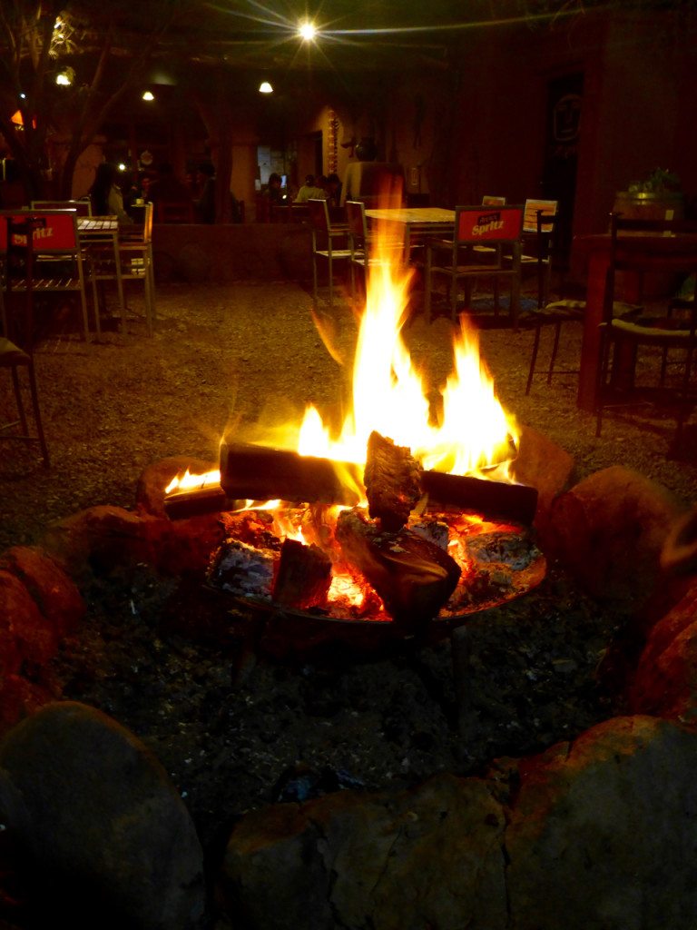
After a 24 Hour bus ride from Santiago we arrived in San Pedro de Atacama, Chile, the “Driest Place on Earth.” It definitely lives up to the title. It’s a pretty surreal landscape and it’s hard to believe anything lives out here, much less people. But as we strolled through the streets of San Pedro we were struck with how charming of a little town it was. All the little café’s and restaurants have little fire pits in their courtyards… did we mention it was cold? Sitting at about 8,000 feet it’s pretty stinking cold, especially once the sun goes down.

San Pedro de Atacama

The next day we made our plans for our Salt Flats trip, I was extremely excited to see them so we didn’t plan to spend much time in San Pedro. We took an afternoon tour out to the Moon Valley and the Valley of Death/Mars.

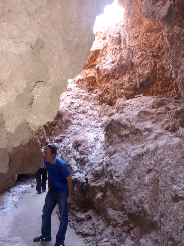
It was a pretty cool to see all the crazy landscapes out here, with crazy rock and salt formations that look the surface of the moon or Mars, which lend their names of the valleys.

Salt just leaches out of the ground here and looks like snow at a distance. We got to go into a cave made almost exclusively of slat. Yes. I licked the wall to check.

San Pedro de Atacama

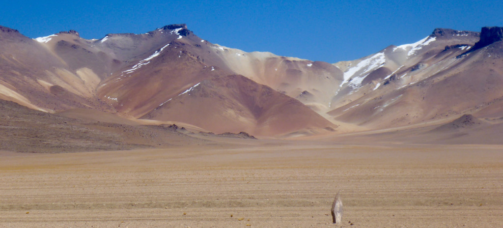
We got to see the Salvador Dali mountains, named after the way the looked like, well, a Salvador Dali painting.

Dali Mountains

And finished the evening with a private photo shoot on Coyote Rock… ok maybe not so private.

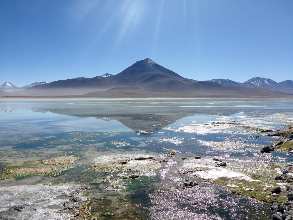
The next morning we packed everything up and meet our mini bus at dawn for a 3 day trip to Uyuni via the altoplano and salt flats. The altoplano is kinda like the high plains in the states… but a lot higher… and there are volcano’s… and geysers… and flamingos… so maybe not so much like the states.

Chile - Bolivia Border

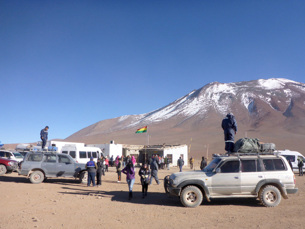
Our first stop was at the Chile-Bolivia border where we leave our mini-bus, go through “immigration” and meet our 4×4 driver/guide for the rest of our trip. The border crossing is on a pass about 14,000 feet up. It’s super windy and freezing cold. Never have I seen so many Land Cruisers in one spot. All loaded up with 100 extra gallons of gasoline and a couple of spare tires, not the kind of place to want to get stuck.

At the border we needed to pay $USD 60 a person for 30 day visas to Bolivia and due to a slight banking error on my part (it takes a few days to move money from account to account as a safe guard against being robbed) we were down to our last few bucks, but we had just enough with a few Chilean Pesos to spare. We filled out our paper work and handed it to the Border Patrol with our money. He hold the 100 up to the light, verify it’s legitimacy then does the same to the 20, stops puts it in my face and flicks the edge where a tiny nick was and says “No.”
I say “what?”
He flicks it again, closer to my face and says “NO!”
I try to explain in broken Spanish that I don’t have any other bills that’s all I’ve got to which he replies “Then you no enter Bolivia” and takes our papers and throws them behind a desk.
I. Freak. Out. And kinda storm out of the little building not sure what to do, but sure we be stuck freezing to death outside with no where to go.

After Liz calms me down a little, a nice Chilean lady who is in our group understands what’s going on and starts trying to find me a good bill; she’s asking everyone. Eventually she finds a little old lady that I’m sure here only reason being there was to give horrible exchange rates to desperate gringos like me on the last pesos I had which was just enough. After some apologies and pleading and digging papers out of the trash, we paid our way into Bolivia in Dollars and Boliviano (no change of course) and were probably the lasts ones to leave the border.

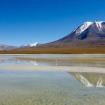
From there it was all uphill… literally. Our little Land Cruiser climbed and climbed until we reached so of the most remote, desolate and beautiful landscapes on the planet.

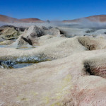
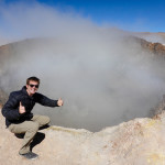
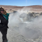
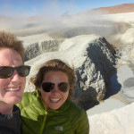
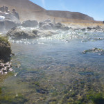
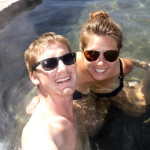
We were pleasantly surprised to find hot springs at about 15,500 feet and enjoyed a steamy dip before going up another 1000 feet to the geysers. Steamy, bubbly mud holes with a broken English warner from our driver, “No fall in!”

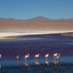
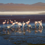
With the smell of sulfur firmly attached to our clothing we made our way to Laguna Colorada, a brilliant red lagoon with flamingos just waiting to pose. I always thought of Flamingos as tropical birds, but here they are wadding through the water at 14,000 feet while we freeze to death.

It was gorgeous and unreal then it was on to another lagoon and to our camp for the evening and some hot cups of coca tea.

Altoplano Atacama Bolivia

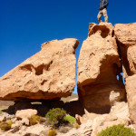
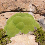
The next day was just as unreal, full climbing all over unbelievable rock formations and the discover of a new to us plant called, loosely, green rock. A crazy plant that looks like moss, is hard as a rock, and has a slight sap that make your hands sticky if you touch it.
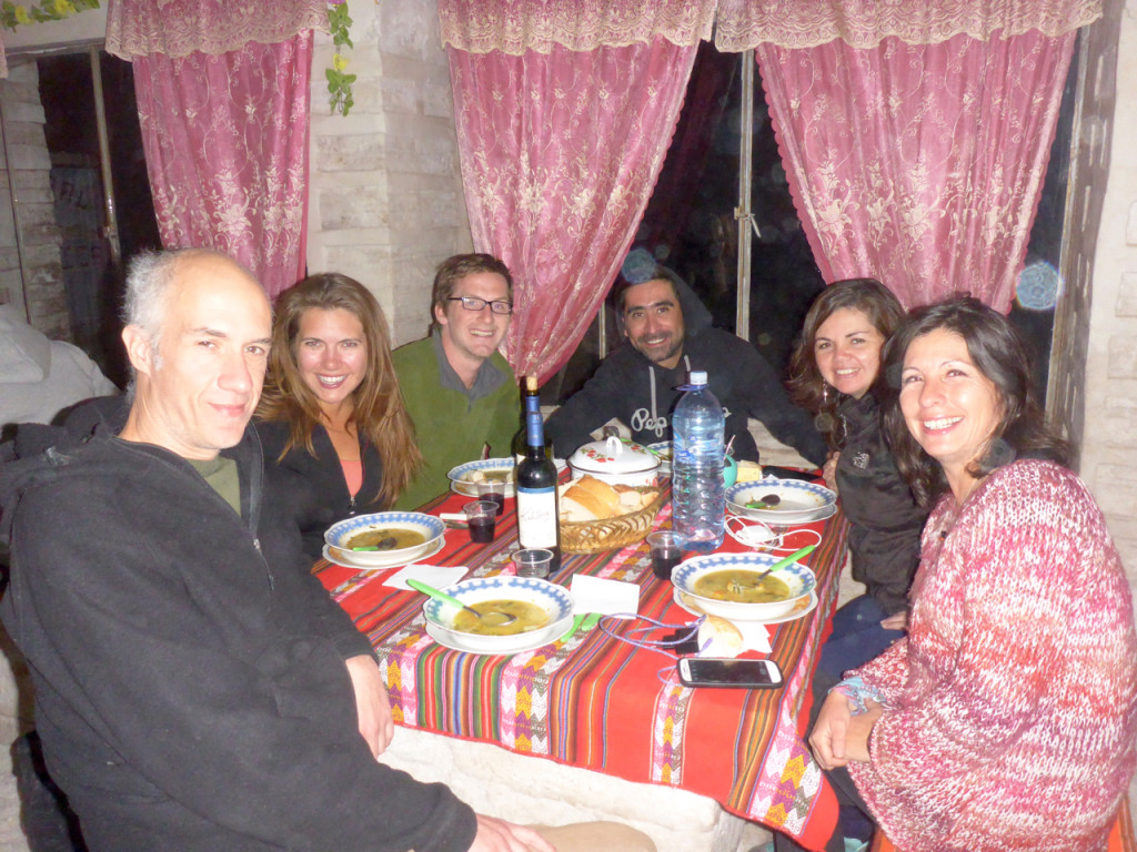
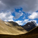
Our accommodations for the evening were on the edge of the Uyuni Salt Flats at the Salt Hotel… literally the whole thing is made of salt. Even the chandeliers.
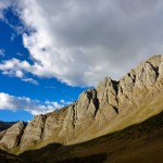
Salt Hotel, Uyni, Bolivia

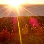
We awoke EARLY to drive out to the saguaro cactus island in the middle of the salt flats to catch sunrise.

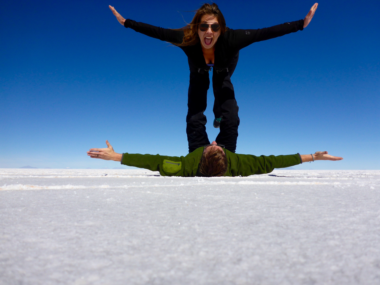
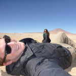
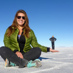
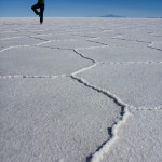
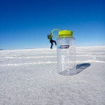
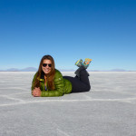
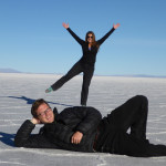
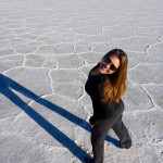
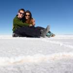
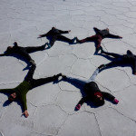
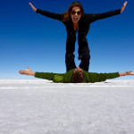
The rest of the day was basically a never end forced perspective photo shoot on a never-ending backdrop.

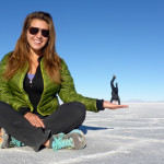
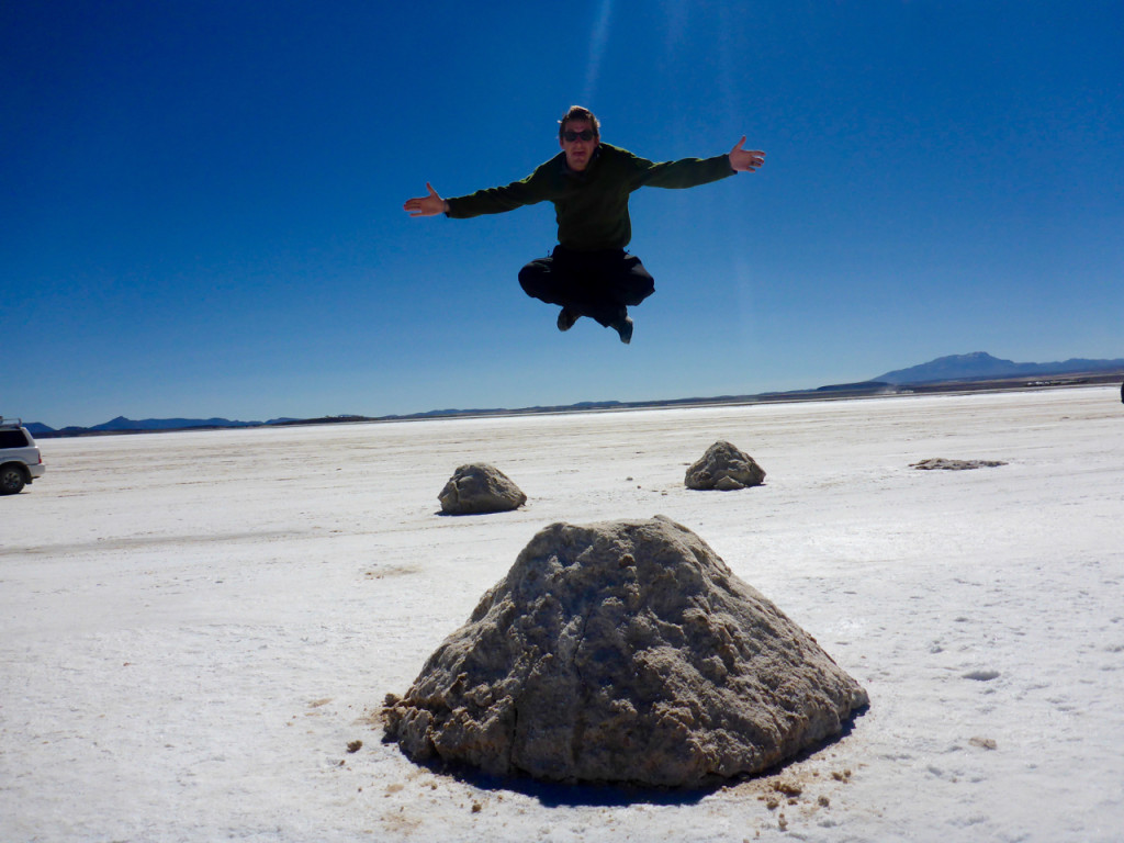
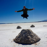
And then Liz taught me how to levitate.

Levitating Uyuni Slat Flats, Bolivia

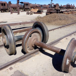
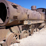
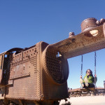
We concluded our tour with a trip to the Train Graveyard on the edge of Uyuni, Bolivia where all good Bolivian trains go to die… and then be cut up for scrape metal.

Uyuni Salt Flats, Bolivia